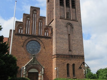
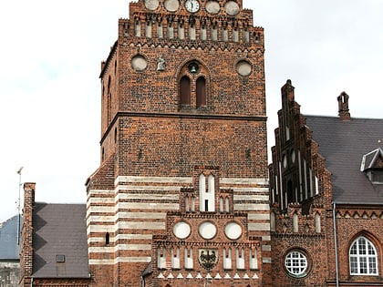
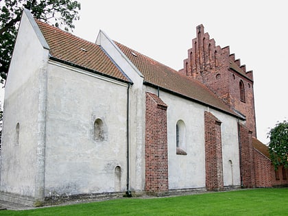
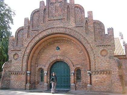
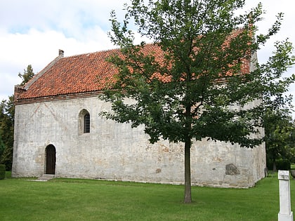
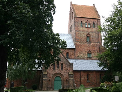
St. Lawrence's Church, Roskilde
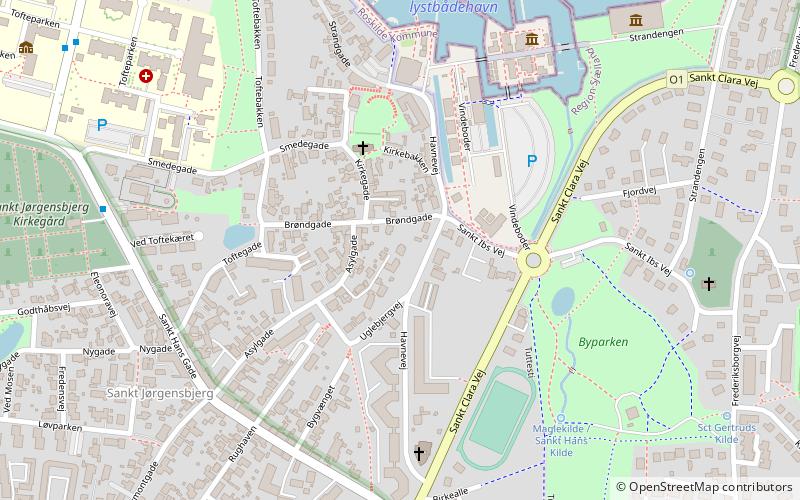
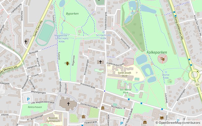
Map
Map

Facts and practical information
Local name: Sankt Laurentii KirkeCoordinates: 55°38'41"N, 12°4'60"E
Day trips
St. Lawrence's Church – popular in the area (distance from the attraction)
Nearby attractions include: Roskilde Cathedral, Viking Ship Museum, Ro's Torv, Museet for Samtidskunst.
Frequently Asked Questions (FAQ)
Which popular attractions are close to St. Lawrence's Church?
Nearby attractions include Roskilde Museum, Roskilde (4 min walk), Gustav Wied, Roskilde (4 min walk), Museet for Samtidskunst, Roskilde (4 min walk), Museet for Samtidskunst, Roskilde (4 min walk).
How to get to St. Lawrence's Church by public transport?
The nearest stations to St. Lawrence's Church:
Bus
Train
Bus
- Sankt Peders Stræde • Lines: 201A (5 min walk)
- Stændertorvet • Lines: 201A (6 min walk)
Train
- Roskilde (12 min walk)
