Livø
Map

Map

Facts and practical information
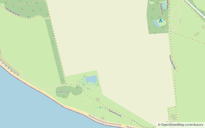
Livø is a 320-hectare Danish island with approximately 10-year-round residents. The island is located centrally in the Limfjord, about 20 minutes by boat from Rønbjerg, and approximately midway between Nykøbing Mors, Løgstør, Fjerritslev and Thisted. Northeast of the island lies Løgstør Bredning while Livø Broads lies west and south of the island. ()
Location
Nordjylland
ContactAdd
Social media
Add
Day trips
Livø – popular in the area (distance from the attraction)
Nearby attractions include: Vitskøl Abbey, Fur Formation, Fur Museum, Fur Kirke.


