Tøxen's School, Køge
Map

Map

Facts and practical information
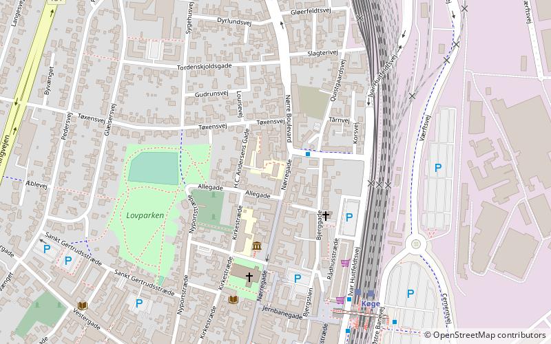
Tøxen's School is a former school in Køge, Denmark. Its building from 1859 in Nørregade is listed. ()
Completed: 1859 (167 years ago)Coordinates: 55°27'36"N, 12°11'2"E
Address
Køge
ContactAdd
Social media
Add
Day trips
Tøxen's School – popular in the area (distance from the attraction)
Nearby attractions include: KØS, Køge Marina, Køge Museum, Køge Town Hall.
Frequently Asked Questions (FAQ)
Which popular attractions are close to Tøxen's School?
Nearby attractions include KØS, Køge (3 min walk), Køge Church or Church of Saint Nicolas, Køge (4 min walk), Køge Museum, Køge (6 min walk), Køge Town Hall, Køge (7 min walk).
How to get to Tøxen's School by public transport?
The nearest stations to Tøxen's School:
Bus
Light rail
Train
Bus
- Bjerggade • Lines: 101A (2 min walk)
- Køge St. • Lines: 101A, 102A (5 min walk)
Light rail
- Køge • Lines: A, E (5 min walk)
Train
- Køge (5 min walk)


