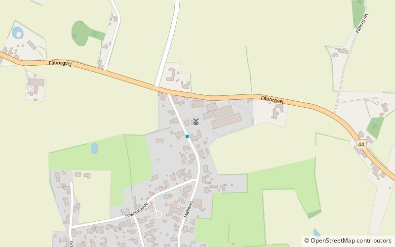
Ulbølle Mølle

Gallery (1)
Map
Map
Facts and practical information
Ulbølle Mølle is a place located in Denmark and belongs to the category of windmill.
It is situated at an altitude of 118 feet, and its geographical coordinates are 55°4'44"N latitude and 10°25'24"E longitude.
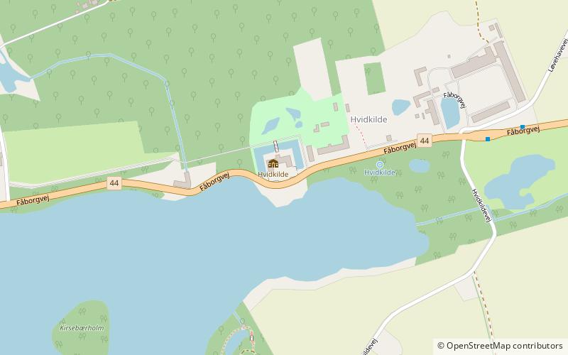
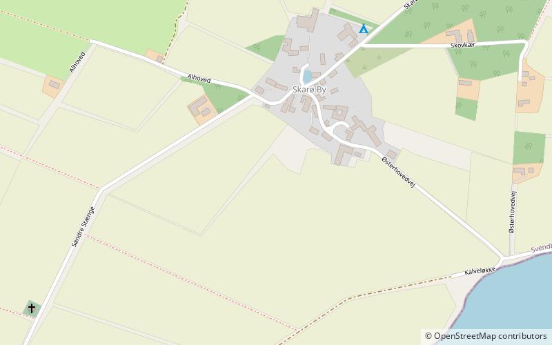
Among other places and attractions worth visiting in the area are: Hvidkilde Castle (manor house, 113 min walk), Øhavsstien (hiking trail, 113 min walk), Skarø (island, 137 min walk).
Coordinates: 55°4'44"N, 10°25'24"E
Location
Syddanmark
ContactAdd
Social media
Add
Day trips