Hvide Sande Havn, Hvide Sande

Gallery (1)
Map
Map
Facts and practical information
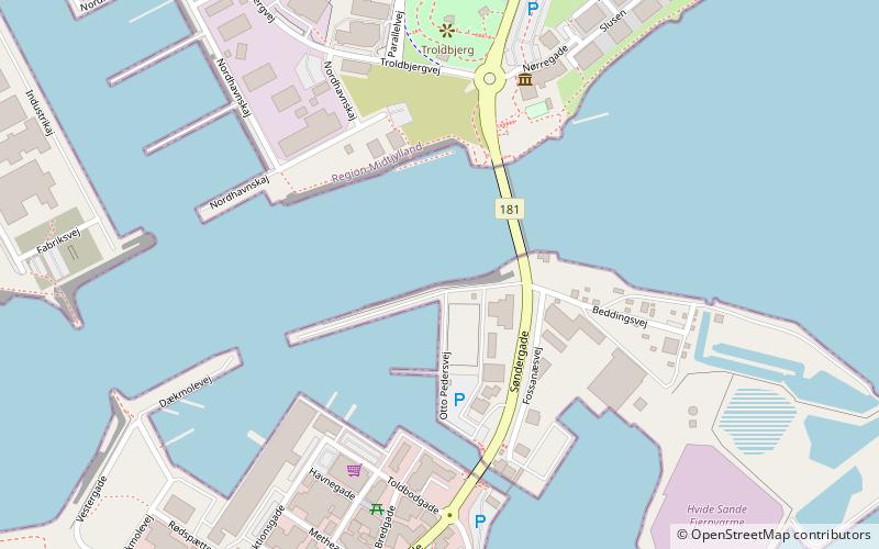
Hvide Sande Havn (address: Fossanæsvej 22) is a place located in Hvide Sande (Midtjylland region) and belongs to the category of sailing, marina.
It is situated at an altitude of 0 feet, and its geographical coordinates are 56°0'9"N latitude and 8°7'42"E longitude.
Among other places and attractions worth visiting in the area are: Fiskeriets Hus (specialty museum, 5 min walk), Lyngvig Fyr (scenic walking areas, 87 min walk), Abelines Gaard (specialty museum, 104 min walk).
Coordinates: 56°0'9"N, 8°7'42"E
Day trips


