Sillerup Mølle, Haderslev
Map

Map

Facts and practical information
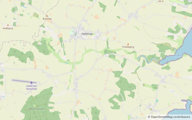
Sillerup Mølle (address: Sillerup Møllevej 35) is a place located in Haderslev (Syddanmark region) and belongs to the category of windmill.
It is situated at an altitude of 62 feet, and its geographical coordinates are 55°18'38"N latitude and 9°34'33"E longitude.
Among other places and attractions worth visiting in the area are: Tyrstrup Kirke, Christiansfeld (church, 117 min walk), Sønder Starup Kirke (church, 118 min walk), Haderslev Football Stadium (arenas and stadiums, 124 min walk).
Coordinates: 55°18'38"N, 9°34'33"E
Day trips
Sillerup Mølle – popular in the area (distance from the attraction)
Nearby attractions include: Haderslev Cathedral, Haderslevhus, StreetDome, Ehlers Samlingen.
Frequently Asked Questions (FAQ)
When is Sillerup Mølle open?
Sillerup Mølle is open:
- Monday closed
- Tuesday 10 am - 1 pm
- Wednesday closed
- Thursday closed
- Friday closed
- Saturday closed
- Sunday closed


