Haldum
Map

Map

Facts and practical information
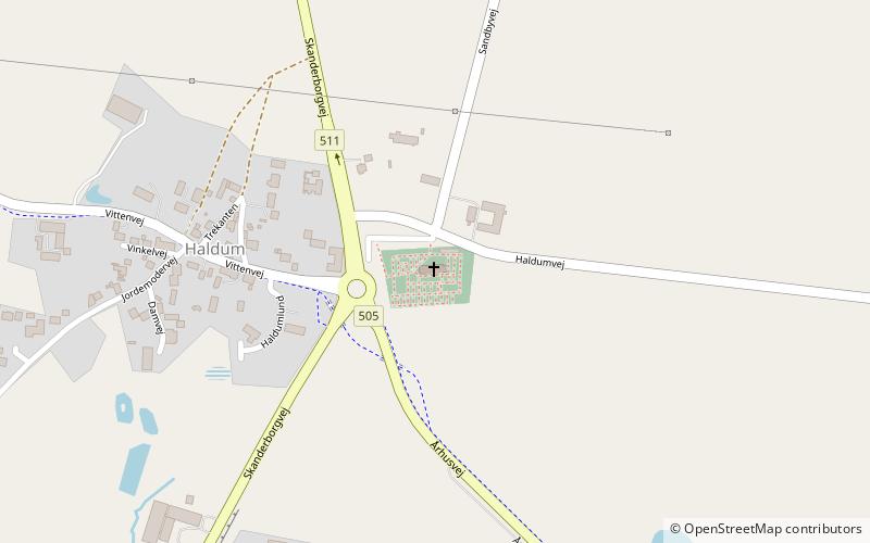
Haldum is a village within the Haldum parish of the Favrskov municipality of mid-Jutland, Denmark, 20 km northwest of Aarhus. The town is home to the medieval-era Haldum Church. In 2004, Haldum Church became known as an archaeological site when the Moesgård Museum conducted excavations in the area surrounding the churchyard, which yielded notable Viking Age and Early Medieval period findings. ()
Local name: Haldum KirkeCoordinates: 56°16'46"N, 10°2'34"E
Location
Haldumvej 11Midtjylland
ContactAdd
Social media
Add
Day trips
Haldum – popular in the area (distance from the attraction)
Nearby attractions include: St Paul's Church, Nørre Galten Church, Skejby Church, Modelbane Europa.


