Anholt Kirke, Anholt

Gallery (1)
Map
Map
Facts and practical information
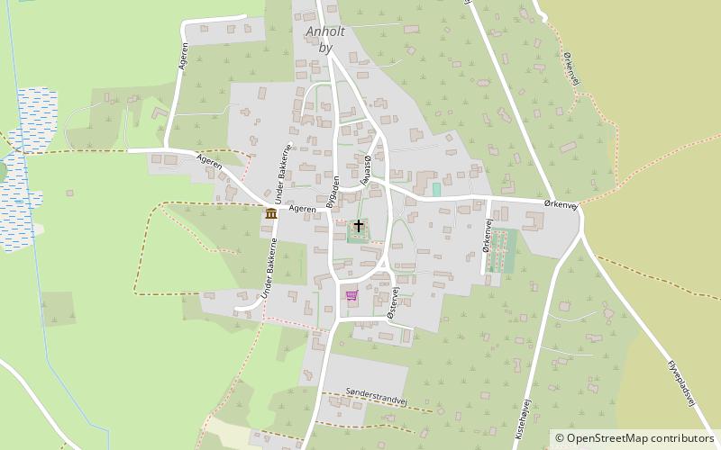
Anholt Kirke (address: Østervej 14) is a place located in Anholt (Midtjylland region) and belongs to the category of church.
It is situated at an altitude of 33 feet, and its geographical coordinates are 56°42'13"N latitude and 11°32'40"E longitude.
Coordinates: 56°42'13"N, 11°32'40"E