Dronningensgade, Copenhagen

Gallery (4)
Map

Map
Gallery
Facts and practical information
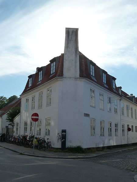
Dronningensgade is a street in the Christianshavn district of Copenhagen, Denmark, running parallel to Christianshavn Canal one block to the east, from Christianshavn Rampart in the south to Bådsmandsstræde in the north. ()
Coordinates: 55°40'19"N, 12°35'30"E
Address
ChristianshavnCopenhagen
ContactAdd
Social media
Add
Getting there by public transportation
Public transportation stops near this location
- Metro
- Bus
- Light rail
- Train
- Ferry
 Metro
Metro
- Calculate routeChristianshavn 1 min walk
- Calculate routeKongens Nytorv 16 min walk
- Calculate routeGammel Strand 17 min walk
- Calculate routeIslands Brygge 17 min walk
- Calculate routeChristianshavn St. 1 min walk
- Calculate routeSkt. Annæ Gade 3 min walk
- Calculate routeKnippelsbro 5 min walk
- Calculate routeØrestads Boulevard 9 min walk
- Calculate routeKnippelsbro 7 min walk
- Calculate routeDet Kongelige Bibliotek 12 min walk
- Calculate routeNyhavn 13 min walk
- Calculate routeOperaen 19 min walk
- Calculate routeCopenhagen Central Station 27 min walk
- Calculate routeNørreport 29 min walk
- Calculate routeCopenhagen Central Station 27 min walk
- Calculate routeNørreport 29 min walk
- Calculate routeVesterport 31 min walk
Maps Metro
Metro
MetroDay trips


Frequently Asked Questions (FAQ)
Which popular attractions are close to Dronningensgade?
Nearby attractions include Christianshavns Torv, Copenhagen (1 min walk), Steinfass House, Copenhagen (2 min walk), Overgaden, Copenhagen (2 min walk), Sofiegade, Copenhagen (2 min walk).
How to get to Dronningensgade by public transport?
The nearest stations to Dronningensgade:
Metro
Bus
Ferry
Train
Light rail
Metro
- Christianshavn • Lines: M1, M2 (1 min walk)
- Kongens Nytorv • Lines: M1, M2, M3, M4 (16 min walk)
Bus
- Christianshavn St. • Lines: 2A (1 min walk)
- Skt. Annæ Gade • Lines: 2A (3 min walk)
Ferry
- Knippelsbro • Lines: 991, 992 (7 min walk)
- Det Kongelige Bibliotek • Lines: 991, 992 (12 min walk)
Train
- Copenhagen Central Station (27 min walk)
- Nørreport (29 min walk)
Light rail
- Copenhagen Central Station • Lines: A, B, Bx, C, E, H (27 min walk)
- Nørreport • Lines: A, B, Bx, C, E, H (29 min walk)