Vindeby Mølle, Lolland

Gallery (1)
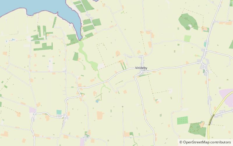
Map
Map
Facts and practical information
Vindeby Mølle is a place located in Lolland (Sjælland region) and belongs to the category of windmill.
It is situated at an altitude of 20 feet, and its geographical coordinates are 54°55'14"N latitude and 11°8'28"E longitude.
Among other places and attractions worth visiting in the area are: Købelev Church, Nakskov (church, 42 min walk), Onsevig museet, Horslunde (piers and boardwalks, 55 min walk), Horslunde Church, Horslunde (church, 80 min walk).
Coordinates: 54°55'14"N, 11°8'28"E
Day trips