Coastline of Djursland
Map
Gallery
Facts and practical information
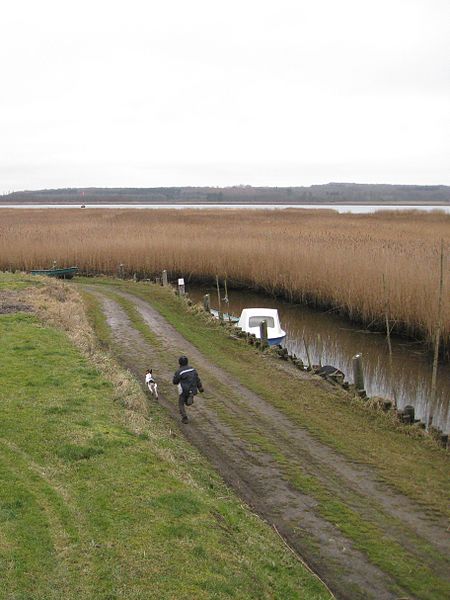
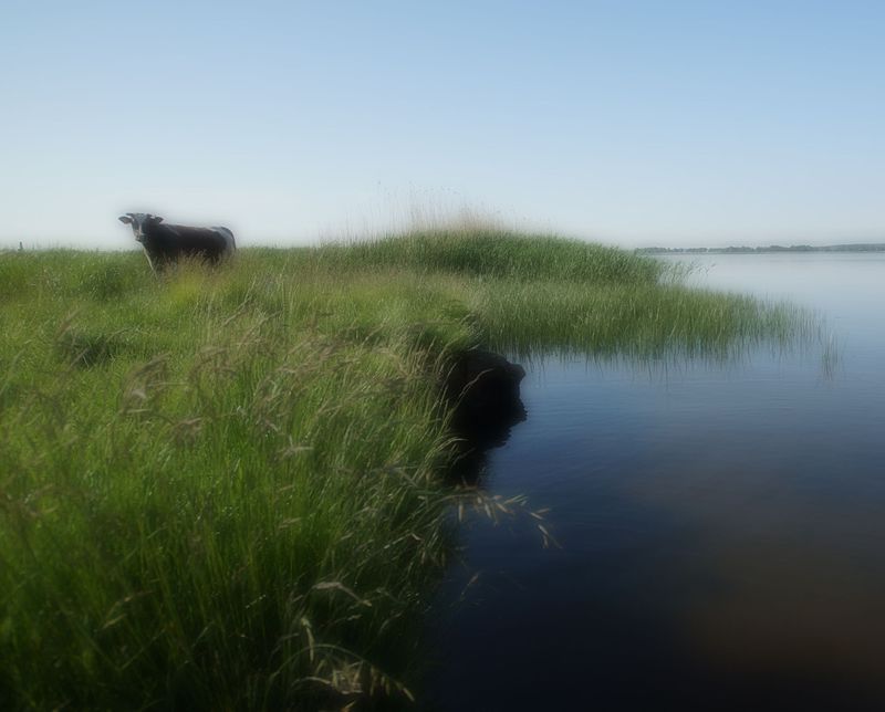
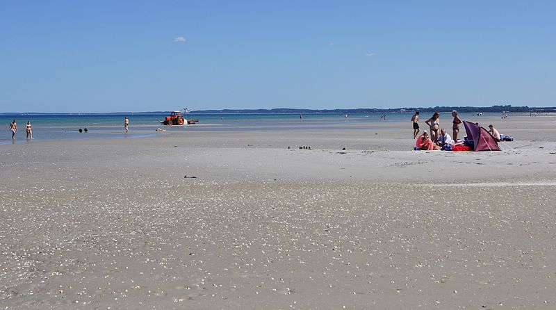
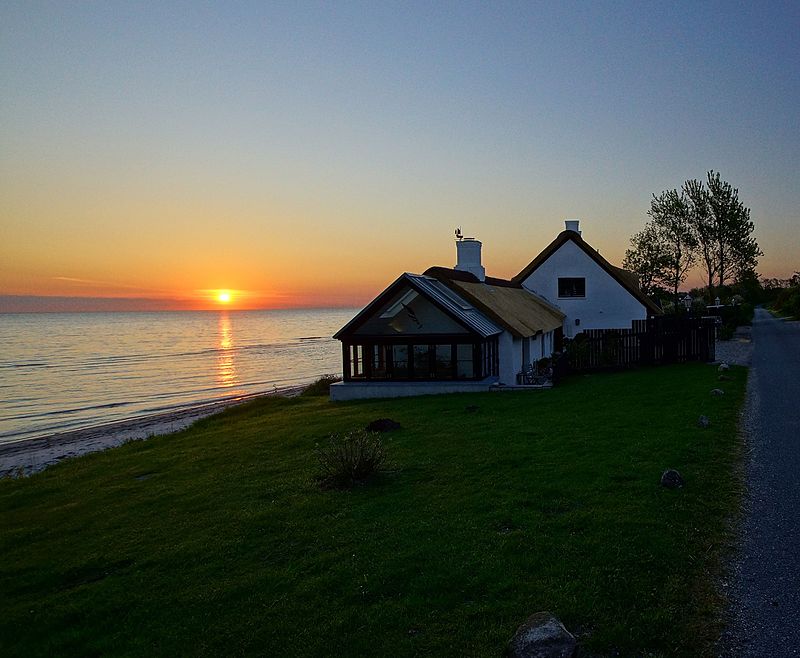
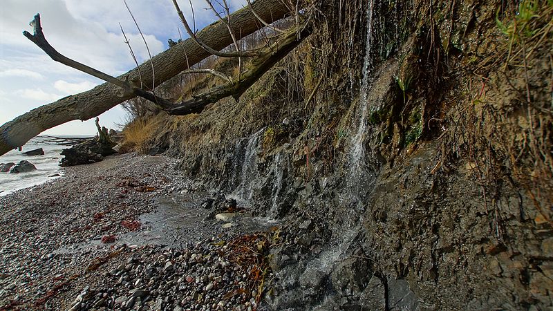
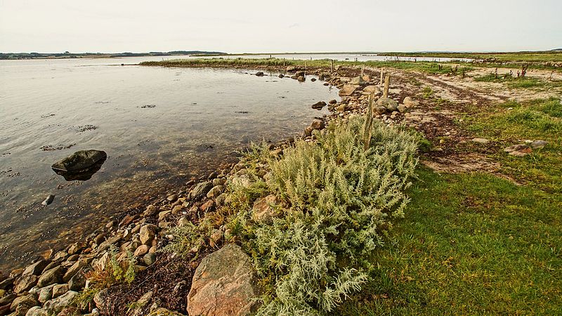
The coastline of Djursland in Denmark is 260 kilometers long as measured from the ferry berth in Voer in the middle of Randers Fjord ending at Avlsgård in Aarhus Bay to the south. There are 18 sandy beaches for swimming along the coastline according to the folder, Kystkort Djursland published by the peninsula's two municipalities, Norddjurs and Syddjurs. These beaches cover 15 – 20%. of the total coastline. The remaining 200 plus kilometres are mostly unspoiled coastal nature. ()
Local name: Djurslands KysterCoordinates: 56°21'27"N, 10°37'45"E
Location
Midtjylland
ContactAdd
Social media
Add
Day trips
Coastline of Djursland – popular in the area (distance from the attraction)
Nearby attractions include: Djurs Sommerland, Skandinavisk Dyrepark, Kolindsund, Gammel Ryomgård.


