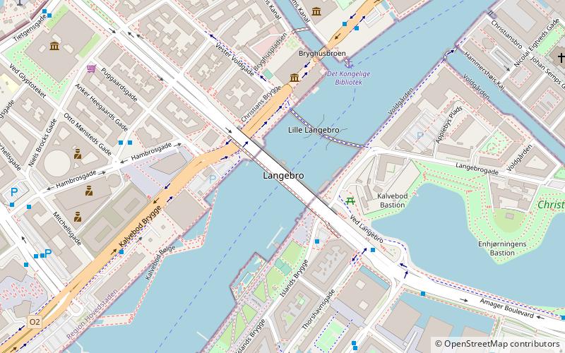
Langebro, Copenhagen
Map

Map

Facts and practical information
Langebro is a bascule bridge across the Inner Harbour of Copenhagen, Denmark, connecting Zealandside H. C. Andersens Boulevard to Amagerside Amager Boulevard. It is one of only two bridges to carry motor vehicles across the harbour in central Copenhagen, the other being Knippelsbro. ()
Day trips
Langebro – popular in the area (distance from the attraction)
Nearby attractions include: Tivoli, Glass Hall, Star Flyer, Dæmonen.
Frequently Asked Questions (FAQ)
Which popular attractions are close to Langebro?
Nearby attractions include Port of Copenhagen, Copenhagen (4 min walk), Fæstningens Materialgård, Copenhagen (5 min walk), Leda and the Swan, Copenhagen (5 min walk), Danish Design Center, Copenhagen (5 min walk).
How to get to Langebro by public transport?
The nearest stations to Langebro:
Ferry
Bus
Metro
Train
Light rail
Ferry
- Det Kongelige Bibliotek • Lines: 991, 992 (4 min walk)
- Knippelsbro • Lines: 991, 992 (11 min walk)
Bus
- Klaksvigsgade • Lines: 5C (5 min walk)
- Otto Mønsteds Plads • Lines: 5C (5 min walk)
Metro
- Gammel Strand • Lines: M3, M4 (13 min walk)
- Christianshavn • Lines: M1, M2 (13 min walk)
Train
- Copenhagen Central Station (14 min walk)
- Nørreport (25 min walk)
Light rail
- Copenhagen Central Station • Lines: A, B, Bx, C, E, H (15 min walk)
- Vesterport • Lines: A, B, Bx, C, E, H (20 min walk)

 Metro
Metro


