Horsens Fjord

Gallery (1)
Map
Map
Facts and practical information
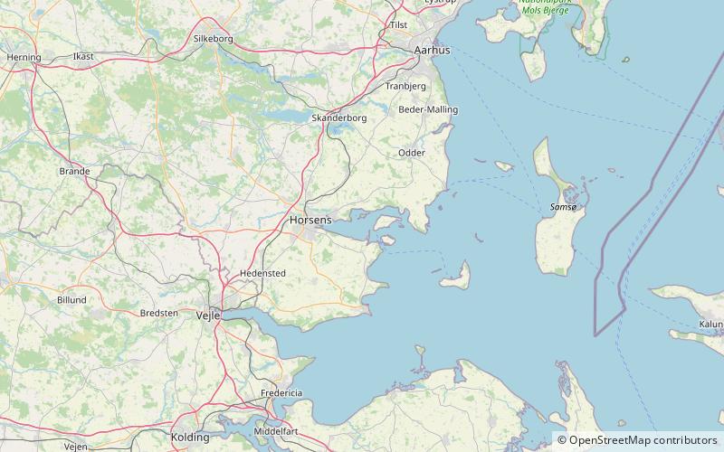
Horsens Fjord is an East Jutland-type fjord in the east coast of the Danish peninsula of Jutland which stretches from the islands of Alrø and Hjarnø in the east to the town of Horsens on the mainland. It is some 20 kilometres long. The navigational channel to Horsens has a depth of 7 metres. ()
Location
Midtjylland
ContactAdd
Social media
Add
Day trips


