Sanderumgaard, Odense
Map
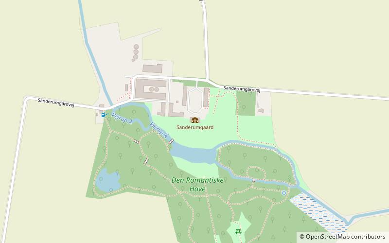
Map

Facts and practical information
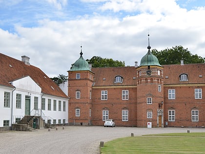
Sanderumgaard (address: Sanderumgaardvej 150) is a place located in Odense (Syddanmark region) and belongs to the category of garden, park, forts and castles.
It is situated at an altitude of 75 feet, and its geographical coordinates are 55°21'10"N latitude and 10°31'58"E longitude.
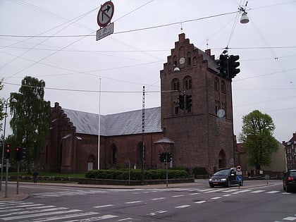
Among other places and attractions worth visiting in the area are: Tornbjerg Kirke (church, 82 min walk), Simgolf Fyn (golf, 83 min walk), Holluf Pile Bibliotek (library, 87 min walk).
Elevation: 75 ft a.s.l.Coordinates: 55°21'10"N, 10°31'58"E
Day trips
Sanderumgaard – popular in the area (distance from the attraction)
Nearby attractions include: Møntergården, Odense City Museums, Gæsteatelier Hollufgård, Kramboden.
Frequently Asked Questions (FAQ)
When is Sanderumgaard open?
Sanderumgaard is open:
- Monday closed
- Tuesday 11 am - 5 pm
- Wednesday 11 am - 5 pm
- Thursday 11 am - 5 pm
- Friday 11 am - 5 pm
- Saturday 11 am - 5 pm
- Sunday 11 am - 5 pm


