Sønderhald Municipality, Auning
Map
Facts and practical information
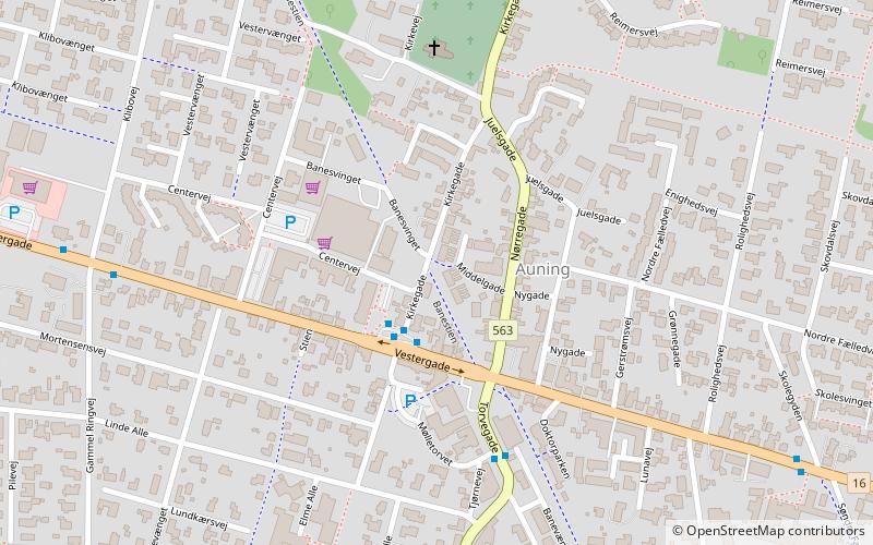
Until 1 January 2007 Sønderhald municipality was a municipality in the former Aarhus County in the eastern part of the Jutland peninsula in central Denmark. It covered an area of 138 km2, and had a total population of 8.503. Its last mayor was Kirsten Wyrtz, a member of the Social Democrats political party. The site of its municipal council was Auning. Other towns in the municipality were Assentoft, Uggelhuse, and Øster Alling. ()
Address
Auning
ContactAdd
Social media
Add
Day trips


