Trøjborg, Aarhus
Map
Gallery
Facts and practical information
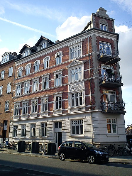
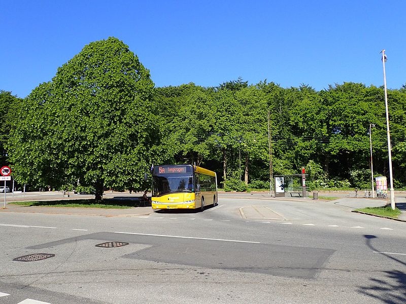
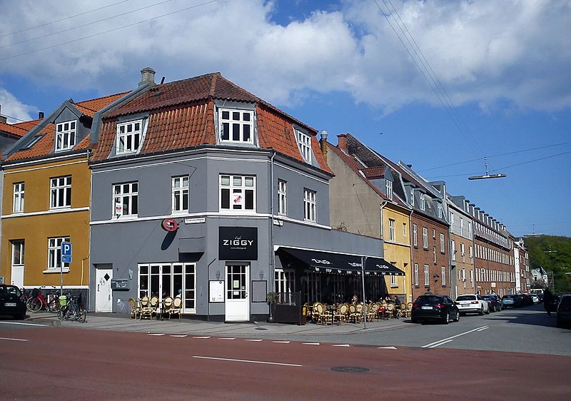
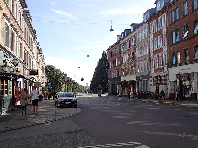
Trøjborg is a neighborhood in the city of Aarhus, Denmark in Skt. Johannes parish with about 11,000 residents as of 2015. The neighborhood is part of the district Aarhus N and borders the neighborhoods Nørre Stenbro to the South West, Risskov to the North and Riis Skov and the Bay of Aarhus to the East. Trøjborg is delimited by the streets Dronning Margrethesvej, Trøjborgvej and Nordre Ringgade. ()
Coordinates: 56°10'17"N, 10°12'50"E
Address
TrøjborgAarhus
ContactAdd
Social media
Add
Day trips
Trøjborg – popular in the area (distance from the attraction)
Nearby attractions include: Storcenter Nord, Naturhistorisk Museum, Riis Skov, INCUBA Science Park.
Frequently Asked Questions (FAQ)
Which popular attractions are close to Trøjborg?
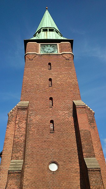
Nearby attractions include Nordre Cemetery, Aarhus (6 min walk), St. John's Church, Aarhus (6 min walk), University Park, Aarhus (12 min walk), Aarhus Sejlklub, Aarhus (13 min walk).
How to get to Trøjborg by public transport?
The nearest stations to Trøjborg:
Bus
Light rail
Tram
Train
Bus
- Herluf Trollesgade • Lines: 1A (3 min walk)
- Niels Juels Gade • Lines: 1A (4 min walk)
Light rail
- Aarhus Universitet/Nordre Ringgade • Lines: L2 (10 min walk)
- Stjernepladsen • Lines: L2 (12 min walk)
Tram
- Aarhus Universitet/Nordre Ringgade • Lines: L2 (10 min walk)
- Universitetsparken • Lines: L2 (10 min walk)
Train
- Østbanetorvet (16 min walk)
- Skolebakken (26 min walk)


