Ansgarkirken, Hedehusene

Gallery (1)
Map
Map
Facts and practical information
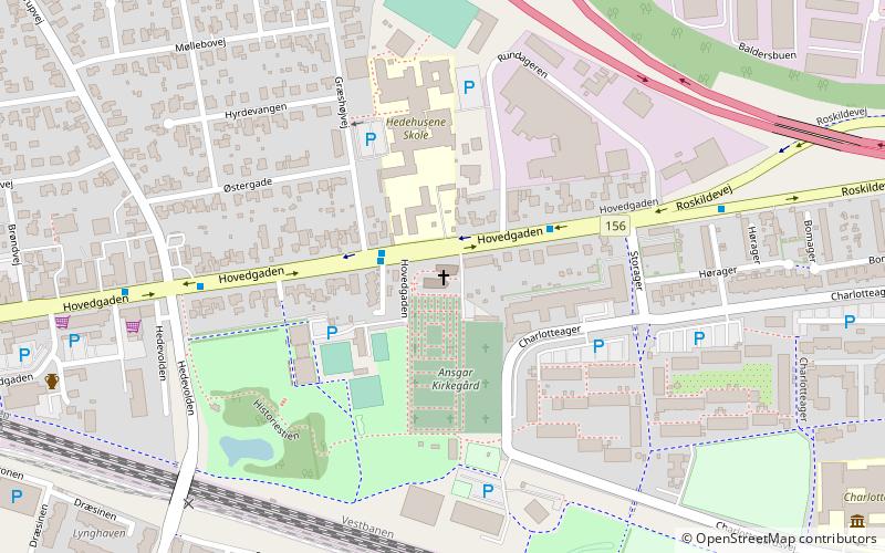
Ansgarkirken (address: Hovedgaden 267) is a place located in Hedehusene (Hovedstaden region) and belongs to the category of church.
It is situated at an altitude of 115 feet, and its geographical coordinates are 55°39'0"N latitude and 12°12'28"E longitude.
Among other places and attractions worth visiting in the area are: Kallerup Stone (stela, 2 min walk), Reerslev Kirke (church, 54 min walk), Hedeland (concerts and shows, 57 min walk).
Coordinates: 55°39'0"N, 12°12'28"E
Day trips


