Valby, Copenhagen
Map
Gallery
Facts and practical information
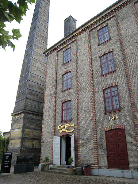
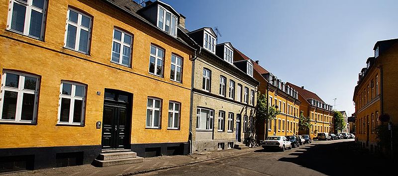
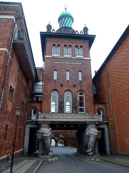
Valby is one of the 10 official districts of Copenhagen, Denmark. It is in the southwestern corner of Copenhagen Municipality, and has a mixture of different types of housing. This includes apartment blocks, terraced housing, areas with single-family houses and allotments, plus the remaining part of the old Valby village, around which the district has formed, intermingled with past and present industrial sites. ()
Address
Valby (Tingstedets)Copenhagen
ContactAdd
Social media
Add
Day trips
Valby – popular in the area (distance from the attraction)
Nearby attractions include: Copenhagen Zoo, Frederiksberg Gardens, Frederiksberg Palace, Spinderiet.
Frequently Asked Questions (FAQ)
Which popular attractions are close to Valby?
Nearby attractions include Valby Langgade, Copenhagen (5 min walk), Toftegårds Plads, Copenhagen (8 min walk), Jesuskirken, Copenhagen (9 min walk), Søndermark Cemetery, Copenhagen (10 min walk).
How to get to Valby by public transport?
The nearest stations to Valby:
Light rail
Train
Bus
Metro
Light rail
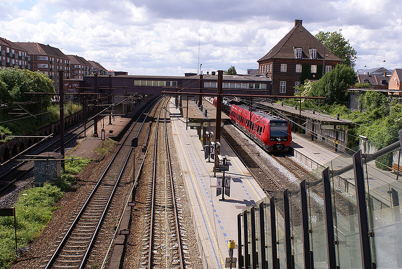
- Valby • Lines: B, Bx, C, H (4 min walk)
- Langgade • Lines: C (10 min walk)
Train
- Valby (4 min walk)
- Ny Ellebjerg (22 min walk)
Bus
- Valby Langgade • Lines: 18, 4A (4 min walk)
- Sdr. Fasanvej • Lines: 18 (4 min walk)
Metro
- Fasanvej • Lines: M1, M2 (30 min walk)
- Frederiksberg Allé • Lines: M3 (31 min walk)



 Metro
Metro


