Vejle Fjord Bridge, Vejle
Map

Map

Facts and practical information
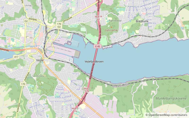
Vejle Fjord Bridge is a cantilever bridge that spans Vejle Fjord between Mølholm and Nørremarken near the town of Vejle in Denmark. The bridge is 1712 metres long, the longest span is 110 metres, and the maximum clearance to the sea is 40 metres. The bridge has 15 spans and carries the European route E45 over the fjord. ()
Local name: Vejlefjordbroen Opened: 1 July 1980 (45 years ago)Length: 5617 ftWidth: 91 ftCoordinates: 55°42'1"N, 9°34'23"E
Address
Vejle
ContactAdd
Social media
Add
Day trips
Vejle Fjord Bridge – popular in the area (distance from the attraction)
Nearby attractions include: Bryggen, Vejle Kunstmuseum, St. Nicolai Church, Økolariet.
Frequently Asked Questions (FAQ)
How to get to Vejle Fjord Bridge by public transport?
The nearest stations to Vejle Fjord Bridge:
Bus
Bus
- Tirsbæk Strandvej v Bybækvej • Lines: 1 (21 min walk)
- Nøddevænget • Lines: 3 (22 min walk)


