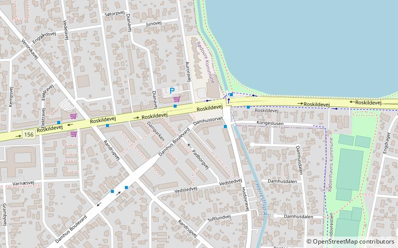
Damhustorvet, Copenhagen

Map
Facts and practical information
Damhustorvet is a larger traffic hub and small business district in south-eastern Rødovre, immediately before the border to Copenhagen. It is served by 8 bus lines, and has two supermarkets, pizzeria, a bicycle store, an outdoor shop, butcher, bakery, convenience store, barber, real estate agent, a kebab parlor and lastly a motorcycle dealership. ()
Coordinates: 55°40'20"N, 12°28'23"E
Address
VestegnenCopenhagen
ContactAdd
Social media
Add
Day trips
Damhustorvet – popular in the area (distance from the attraction)
Nearby attractions include: Rødovre Centrum, Damhus Lake, Hvidovre Kirke, K.B. Hallen.
Frequently Asked Questions (FAQ)
Which popular attractions are close to Damhustorvet?
Nearby attractions include Damhus Lake, Copenhagen (9 min walk), Heerup Museum, Copenhagen (20 min walk), K.B. Hallen, Copenhagen (24 min walk), City Hall, Copenhagen (24 min walk).
How to get to Damhustorvet by public transport?
The nearest stations to Damhustorvet:
Bus
Light rail
Metro
Bus
- Damhustorvet • Lines: 21, 22, 7A (1 min walk)
- Randrupvej • Lines: 21, 22, 7A (9 min walk)
Light rail
- Hvidovre • Lines: B (14 min walk)
- Rødovre • Lines: B (19 min walk)
Metro
- Vanløse • Lines: M1, M2 (33 min walk)
- Flintholm • Lines: M1, M2 (36 min walk)
 Metro
Metro


