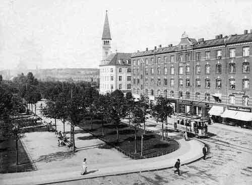
Enghave Plads, Copenhagen

Gallery (2)
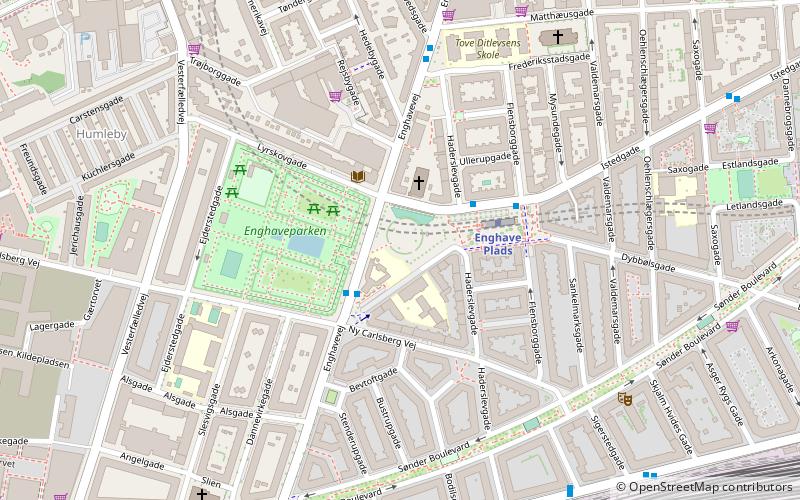
Map
Map
Gallery
Facts and practical information
Enghave Plads is a central public square of the Vesterbro district in Copenhagen, Denmark. It is located where Istedgade reaches Enghavevej, which separates the square from Enghave Park. ()
Address
Enghave Plads 6Vesterbro - Kongens Enghave (Haderslevgades)Copenhagen
ContactAdd
Social media
Add
Getting there by public transportation
Public transportation stops near this location
- Metro
- Bus
- Light rail
- Train
- Ferry
 Metro
Metro
- Calculate routeEnghave Plads St. 2 min walk
- Calculate routeEnghave Plads St., Flensborggade 2 min walk
- Calculate routeTove Ditlevsens Plads 5 min walk
- Calculate routeEnghave Plads 3 min walk
- Calculate routeFrederiksberg Allé 13 min walk
- Calculate routeCopenhagen Central Station 21 min walk
- Calculate routeForum 28 min walk
- Calculate routeCarlsberg 11 min walk
- Calculate routeDybbølsbro 15 min walk
- Calculate routeCopenhagen Central Station 22 min walk
- Calculate routeSydhavn 23 min walk
- Calculate routeHavneholmen 18 min walk
- Calculate routeCopenhagen Central Station 23 min walk
- Calculate routeEnghave Brygge 26 min walk
- Calculate routeNørreport 41 min walk
- Calculate routeBryggebroen 26 min walk
Maps Metro
Metro
MetroDay trips


Frequently Asked Questions (FAQ)
Which popular attractions are close to Enghave Plads?
Nearby attractions include Enghaveparken, Copenhagen (1 min walk), Christ Church, Copenhagen (2 min walk), Vesterfælledvej, Copenhagen (6 min walk), Vesterbro/Kongens Enghave, Copenhagen (6 min walk).
How to get to Enghave Plads by public transport?
The nearest stations to Enghave Plads:
Bus
Metro
Light rail
Train
Ferry
Bus
- Enghave Plads St. • Lines: 1A, 23, 9A (2 min walk)
- Enghave Plads St., Flensborggade • Lines: 23 (2 min walk)
Metro
- Enghave Plads • Lines: M3 (3 min walk)
- Frederiksberg Allé • Lines: M3 (13 min walk)
Light rail
- Carlsberg • Lines: B, Bx, C, H (11 min walk)
- Dybbølsbro • Lines: A, B, Bx, C, E, H (15 min walk)
Train
- Havneholmen (18 min walk)
- Copenhagen Central Station (23 min walk)
Ferry
- Bryggebroen • Lines: 991, 992 (26 min walk)