Tryggevælde

Map
Facts and practical information
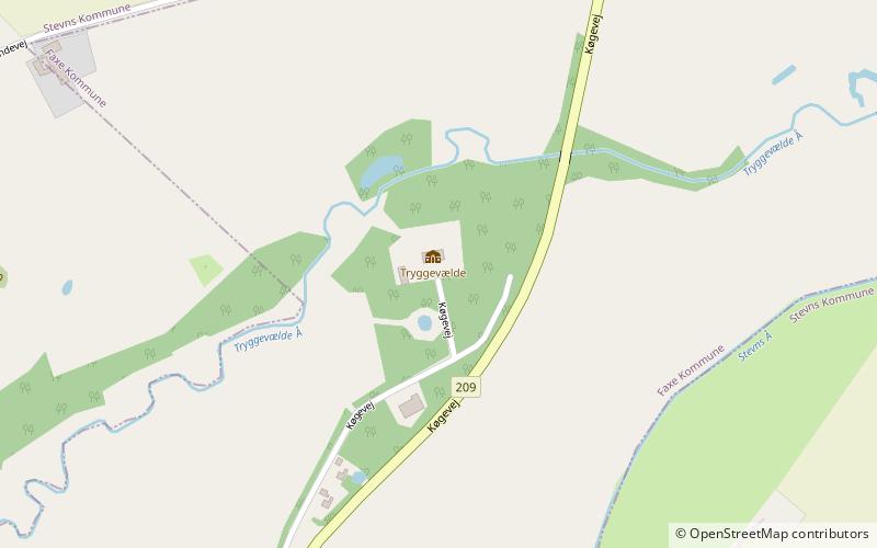
Tryggevælde is a manor house and estate in Faxe Municipality, some fifty kilometres southwest of Copenhagen, Denmark. The estate was a royal fief until the middle of the 18th century and was later owned by the Moltke family at Bregentved from 1751 to 1937. The current main building is from 1849. The Tryggevælde Runestone was from some time during the 16th century to 1810 located in the central courtyard of the old main building. ()
Coordinates: 55°20'5"N, 12°13'54"E
Location
Sjælland
ContactAdd
Social media
Add
Day trips
Tryggevælde – popular in the area (distance from the attraction)
Nearby attractions include: Vallø Castle, Faxe Church, Turebyholm, Juellinge.


