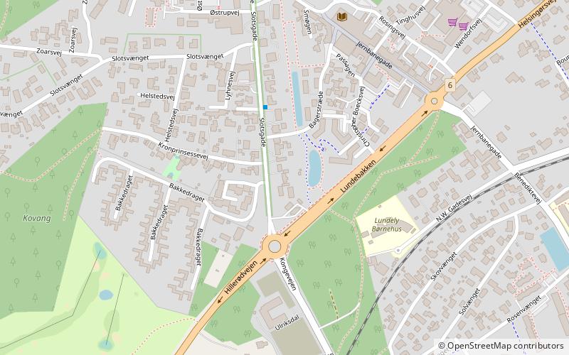
Dorothealyst, Fredensborg
Map

Map

Facts and practical information
Dorothealyst is an 18th-century house situated on the street that leads up to Fredensborg Palace in Fredensborg, Denmark. It was listed in the Danish registry of protected buildings and places in 1970. ()
Coordinates: 55°58'35"N, 12°23'49"E
Address
Fredensborg
ContactAdd
Social media
Add
Day trips
Dorothealyst – popular in the area (distance from the attraction)
Nearby attractions include: Fredensborg Palace, Asminderød Church, Falconer Farm, Fredensborg Palace.
Frequently Asked Questions (FAQ)
Which popular attractions are close to Dorothealyst?
Nearby attractions include Fredensborg Bibliotek, Fredensborg (6 min walk), Fredensborg Palace, Fredensborg (10 min walk), Fredensborg Palace, Fredensborg (10 min walk), Asminderød Church, Fredensborg (18 min walk).
How to get to Dorothealyst by public transport?
The nearest stations to Dorothealyst:
Train
Train
- Fredensborg (10 min walk)
- Kratbjerg (19 min walk)


