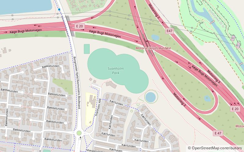
Avedøre, Copenhagen

Map
Facts and practical information
Avedøre is a south-western suburb of Copenhagen located in Hvidovre Municipality. ()
Coordinates: 55°37'57"N, 12°27'27"E
Address
VestegnenCopenhagen
ContactAdd
Social media
Add
Getting there by public transportation
Public transportation stops near this location
- Bus
- Light rail
 Bus
Bus
- Calculate routeAvedøre Skole 2 min walk
- Calculate routeBredholtvej 5 min walk
- Calculate routeHvidovre Gymnasium 10 min walk
- Calculate routeAvedøre 13 min walk
- Calculate routeFriheden 27 min walk
Maps Metro
Metro
MetroDay trips


Frequently Asked Questions (FAQ)
How to get to Avedøre by public transport?
The nearest stations to Avedøre:
Bus
Light rail
Bus
- Avedøre Skole • Lines: 1A (2 min walk)
- Bredholtvej • Lines: 1A (5 min walk)
Light rail
- Avedøre • Lines: A (13 min walk)
- Friheden • Lines: A (27 min walk)