Taarbæk Church, Skodsborg
Map

Map

Facts and practical information
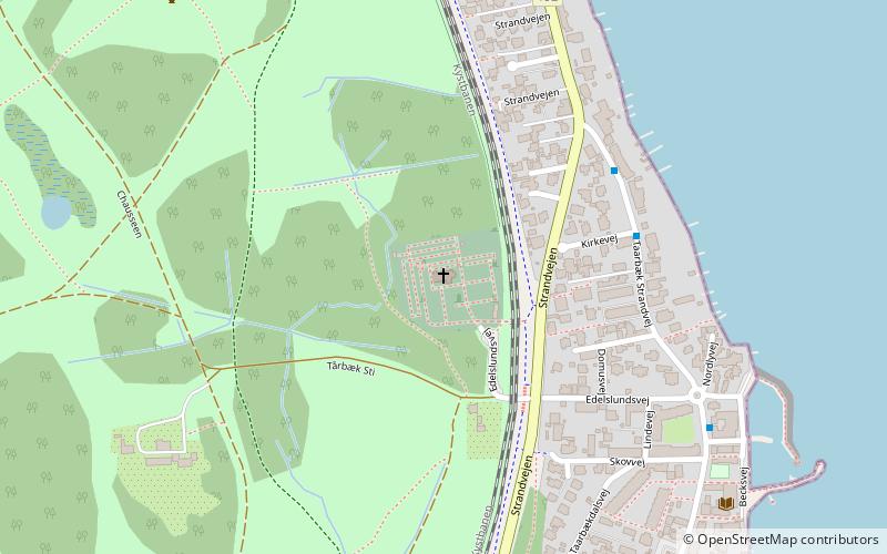
Taarbæk Church, formerly known as Skovkapellet, is a Church of Denmark parish church in Taarbæk, Lyngby-Taarbæk Municipality, some 15 km north of central Copenhagen, Denmark. The church and adjacent cemetery is bordered by Jægersborg Dyrehave to the north and west and by the Coast Line to the east. The church was inaugurated in 1864 but Taarbæk Paris was not disjoined from that of Lyngby until 1907. ()
Coordinates: 55°47'22"N, 12°35'22"E
Address
Northern Suburbs (Klampenborg)Skodsborg
ContactAdd
Social media
Add
Day trips
Taarbæk Church – popular in the area (distance from the attraction)
Nearby attractions include: Dyrehavsbakken, Jægersborg Dyrehave, Klampenborg Racecourse, Hermitage Hunting Lodge.
Frequently Asked Questions (FAQ)
Which popular attractions are close to Taarbæk Church?
Nearby attractions include Cottageparken, Skodsborg (14 min walk), Hermitage Hunting Lodge, Copenhagen (21 min walk), Bellevue Teatret, Copenhagen (22 min walk), Bellevue Beach, Copenhagen (22 min walk).
How to get to Taarbæk Church by public transport?
The nearest stations to Taarbæk Church:
Bus
Train
Light rail
Bus
- Kirkevej • Lines: 388 (4 min walk)
- Tårbæk Havn • Lines: 388 (6 min walk)
Train
- Klampenborg (23 min walk)
Light rail
- Klampenborg • Lines: C (23 min walk)


