Klostermølle, Skanderborg

Gallery (1)
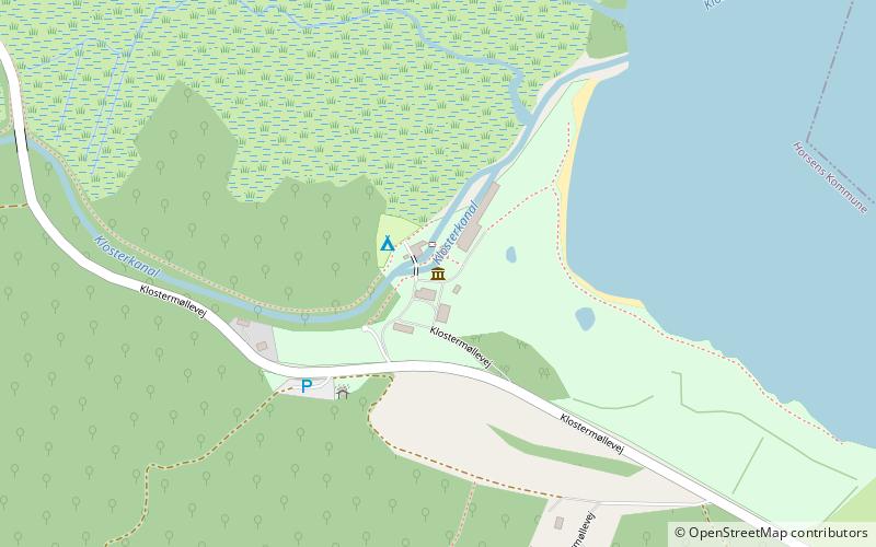
Map
Map
Facts and practical information
Klostermølle was originally a watermill, serving the now demolished Voer Abbey once situated nearby. The mill is located at the western end of lake Mossø. ()
Coordinates: 56°2'24"N, 9°41'37"E
Address
Skanderborg
ContactAdd
Social media
Add
Day trips


