Christians kirken, Sønderborg

Gallery (1)
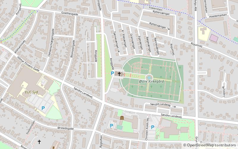
Map
Map
Facts and practical information
Christians kirken (address: Ringgade 102) is a place located in Sønderborg (Syddanmark region) and belongs to the category of church.
It is situated at an altitude of 69 feet, and its geographical coordinates are 54°54'34"N latitude and 9°48'19"E longitude.
Planning a visit to this place, one can easily and conveniently get there by public transportation. Christians kirken is a short distance from the following public transport stations: Sønderborg Busstation (bus, 12 min walk), Sønderborg (train, 28 min walk).
Among other places and attractions worth visiting in the area are: Rubilee's Escape House (amusement, 16 min walk), Sct. Marie Sogns Kirkegård (church, 19 min walk), Genforeningen (memorial, 21 min walk).
Coordinates: 54°54'34"N, 9°48'19"E
Getting there by public transportation
Public transportation stops near this location
- Bus
- Train
 Bus
Bus
- Calculate routeSønderborg Busstation 12 min walk
- Calculate routeSønderborg 28 min walk
Day trips


Frequently Asked Questions (FAQ)
Which popular attractions are close to Christians kirken?
Nearby attractions include Sct. Marie Sogns Kirkegård, Sønderborg (19 min walk), Genforeningen, Sønderborg (21 min walk), Sønderborg Castle, Sønderborg (22 min walk).
How to get to Christians kirken by public transport?
The nearest stations to Christians kirken:
Bus
Train
Bus
- Sønderborg Busstation (12 min walk)
Train
- Sønderborg (28 min walk)