Cabo Rojo, Bahia de las Aguilas

Gallery (1)
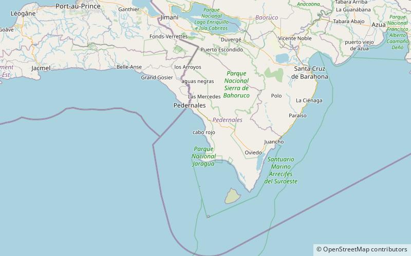
Map
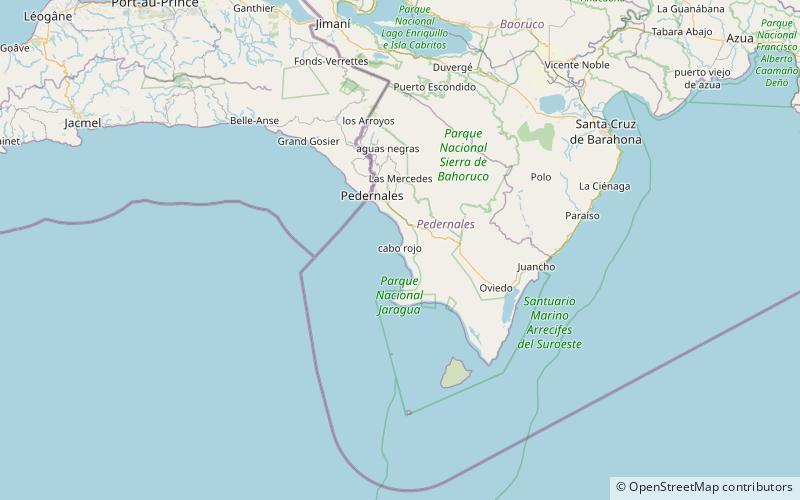
Map
Facts and practical information
Literally meaning "Red Cape", is both a cape on the southwestern coast of the Dominican Republic, and a beach on the same location. More specifically, it belongs to Pedernales Province, the southernmost province of the country. ()
Coordinates: 17°54'0"N, 71°40'0"W
Address
Bahia de las Aguilas
ContactAdd
Social media
Add
Day trips
Cabo Rojo – popular in the area (distance from the attraction)
Nearby attractions include: Port of Cabo Rojo.