Cerro Azul, Isabela
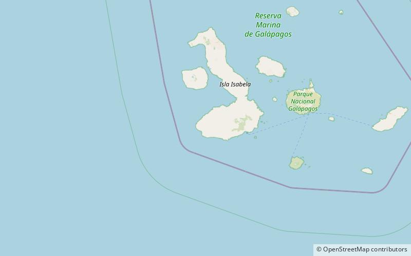
Map

Map

Facts and practical information
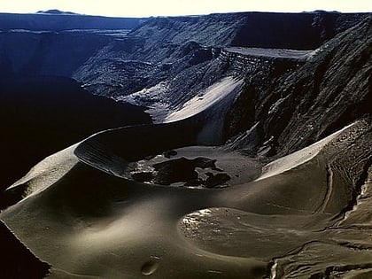
Cerro Azul is a shield volcano on the south western part of Isabela Island in the Galápagos Islands. At a height of 1,689 m it is the second highest peak in the Galapagos and due to its topographic prominence of over 1,500 m it is categorised as an ultra. The volcano is one of the most active in the Galapagos, with the last eruption between May and June 2008. ()
Alternative names: Last eruption: 2008Elevation: 5541 ftProminence: 5472 ftCoordinates: 0°55'12"S, 91°24'29"W
Address
Isabela
ContactAdd
Social media
Add
