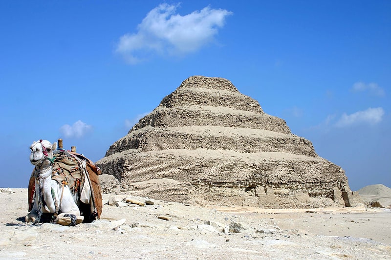
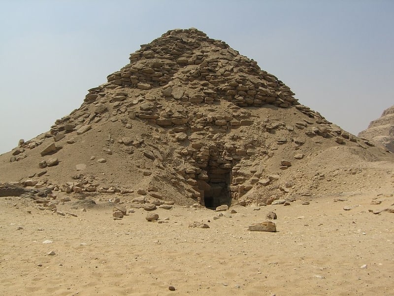
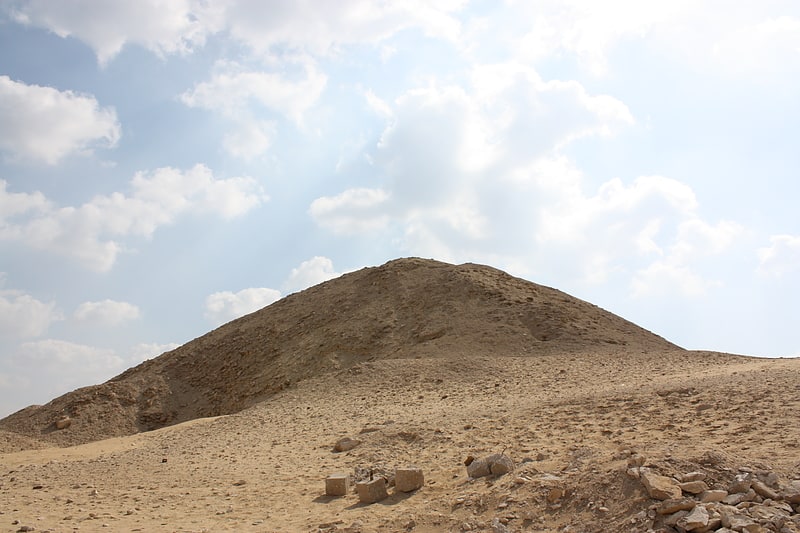
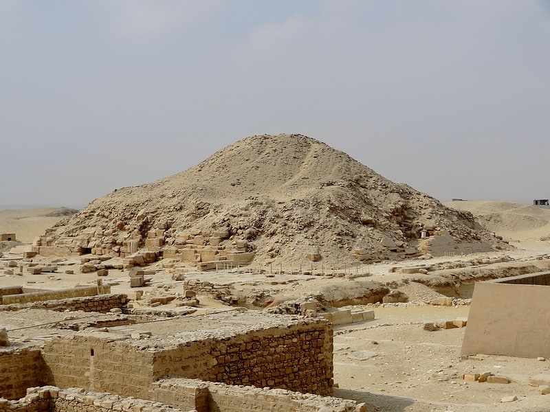
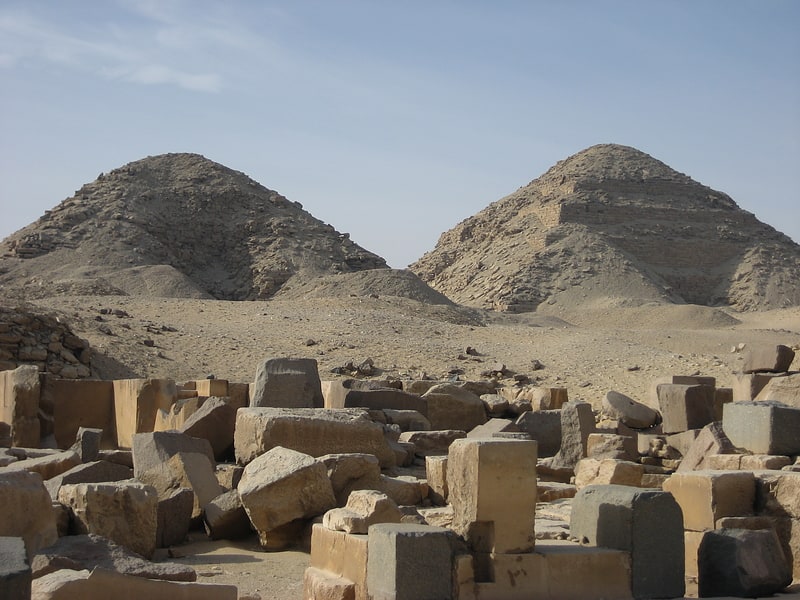
Saqqara Necropolis, Memphis

Gallery (1)
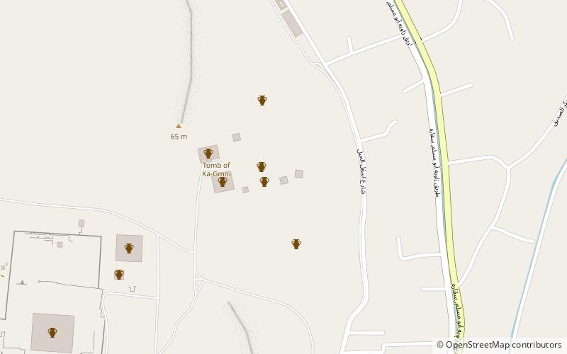
Map
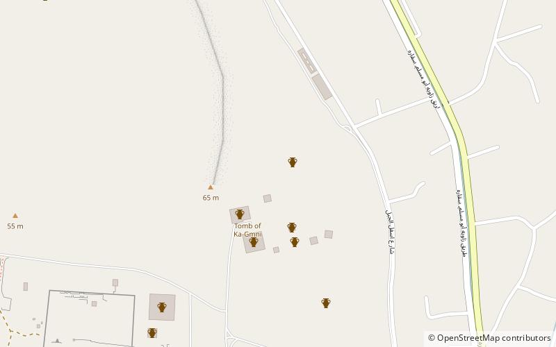
Map
Facts and practical information
Saqqara Necropolis (address: Pyramid of Djoser Road, Saqarah, Al Badrashin) is a place located in Memphis (Al Jizah governorate) and belongs to the category of sightseeing.
It is situated at an altitude of 197 feet, and its geographical coordinates are 29°52'37"N latitude and 31°13'21"E longitude.
Among other places and attractions worth visiting in the area are: Headless Pyramid, Saqqara (pyramid, 4 min walk), Pyramid of Teti, Saqqara (pyramid, 4 min walk), Bubasteum, Saqqara (temple, 6 min walk).
Coordinates: 29°52'37"N, 31°13'21"E
Address
Pyramid of Djoser Road, Saqarah, Al BadrashinMemphis
ContactAdd
Social media
Add
Day trips


Frequently Asked Questions (FAQ)
Which popular attractions are close to Saqqara Necropolis?
Nearby attractions include Headless Pyramid, Saqqara (4 min walk), Pyramid of Teti, Saqqara (4 min walk), Bubasteum, Saqqara (6 min walk), Pyramid of Userkaf, Saqqara (9 min walk).