Kellis
Map

Map

Facts and practical information
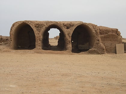
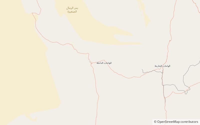
Ancient Kellis, now known as Ismant el-Kharab, was a village in Upper Egypt during the Hellenistic Period, Roman Period, and Byzantine period. It was located about 2.5 kilometers east-southeast of present-day Ismant in the Dakhleh Oasis, and about 11 kilometers northeast of Mut, which is the capital of the oasis. In ancient times, Mut was called Mothis, and thus Kellis was in the Mothite nome. ()
Coordinates: 25°31'0"N, 29°5'43"E
Location
Al Wadi al Jadid
ContactAdd
Social media
Add
Day trips
Kellis – popular in the area (distance from the attraction)
Nearby attractions include: Mut.

