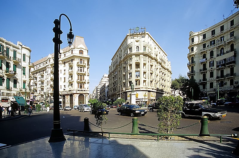
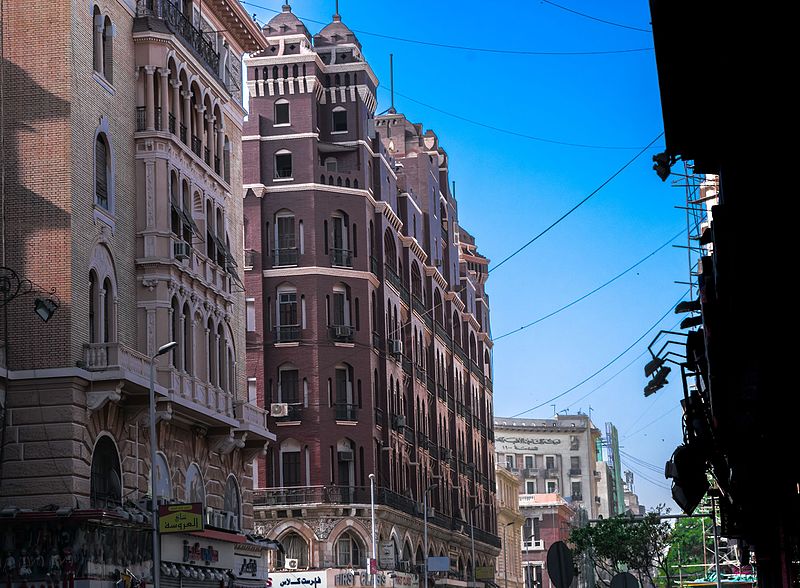
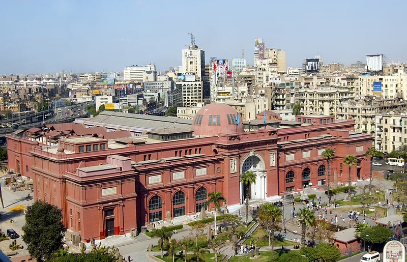
Downtown Cairo, Cairo
Gallery (2)
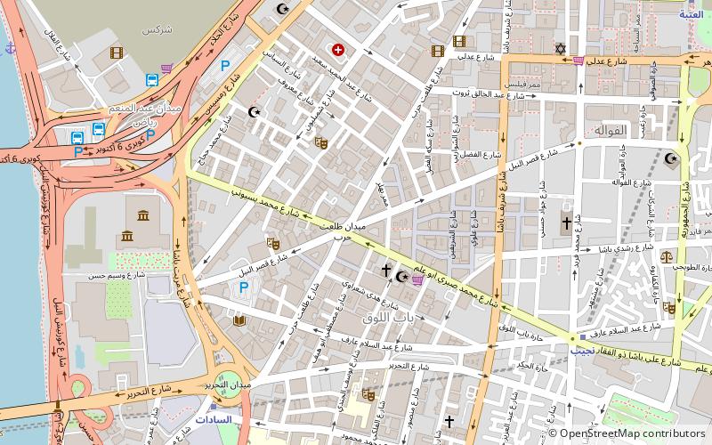
Map
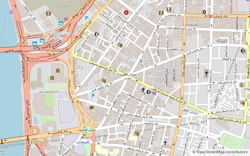
Map
Gallery
Facts and practical information
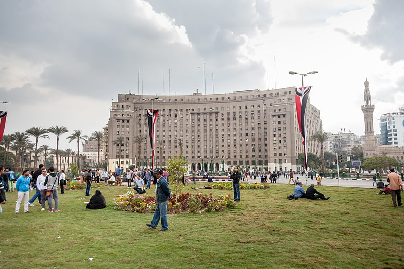
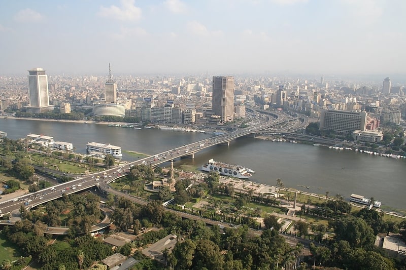
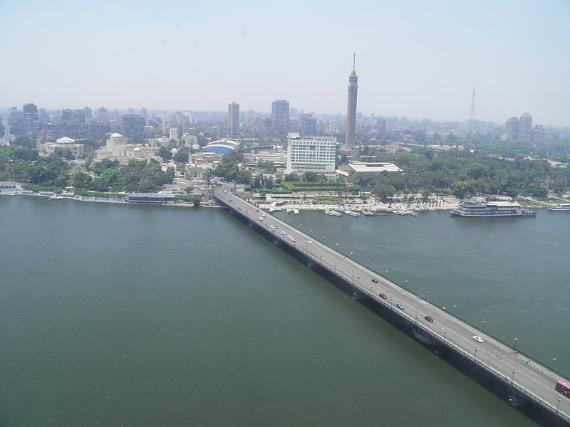
Downtown Cairo, has been the urban center of Cairo, Egypt, since the late 19th century, when the district was designed and built. ()
Address
وسط البلد (ماء ريوف)Cairo
ContactAdd
Social media
Add
Getting there by public transportation
Public transportation stops near this location
- Metro
- Bus
- Train
 Metro
Metro
- Calculate routeSadat 8 min walk
- Calculate routeMohamed Naguib 10 min walk
- Calculate routeNasser 11 min walk
- Calculate routeAttaba 18 min walk
- Calculate routeAbd el Moniem Riad 9 min walk
- Calculate routeTurgoman Bus Station 19 min walk
- Calculate routeHigh Jet 25 min walk
- Calculate routeSuez & Sinai Bus Station 26 min walk
- Calculate routeOrabi 19 min walk
- Calculate routeRamses Station 31 min walk
Day trips


Frequently Asked Questions (FAQ)
Which popular attractions are close to Downtown Cairo?
Nearby attractions include Talaat Harb Street, Cairo (1 min walk), Townhouse Gallery, Cairo (3 min walk), Tahrir Square, Cairo (7 min walk), June 2013 Egyptian protests, Cairo (7 min walk).
How to get to Downtown Cairo by public transport?
The nearest stations to Downtown Cairo:
Metro
Bus
Train
Metro
- Sadat • Lines: 1, 2 (8 min walk)
- Mohamed Naguib • Lines: 2 (10 min walk)
Bus
- Abd el Moniem Riad (9 min walk)
- Turgoman Bus Station (19 min walk)
Train
- Orabi (19 min walk)
- Ramses Station (31 min walk)