Giza, Cairo
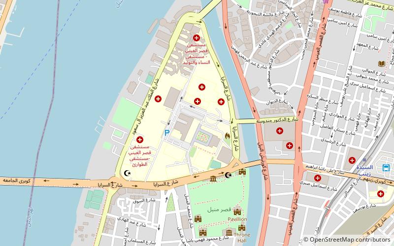
Map
Gallery
Facts and practical information
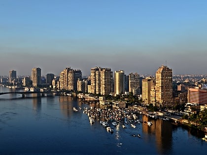
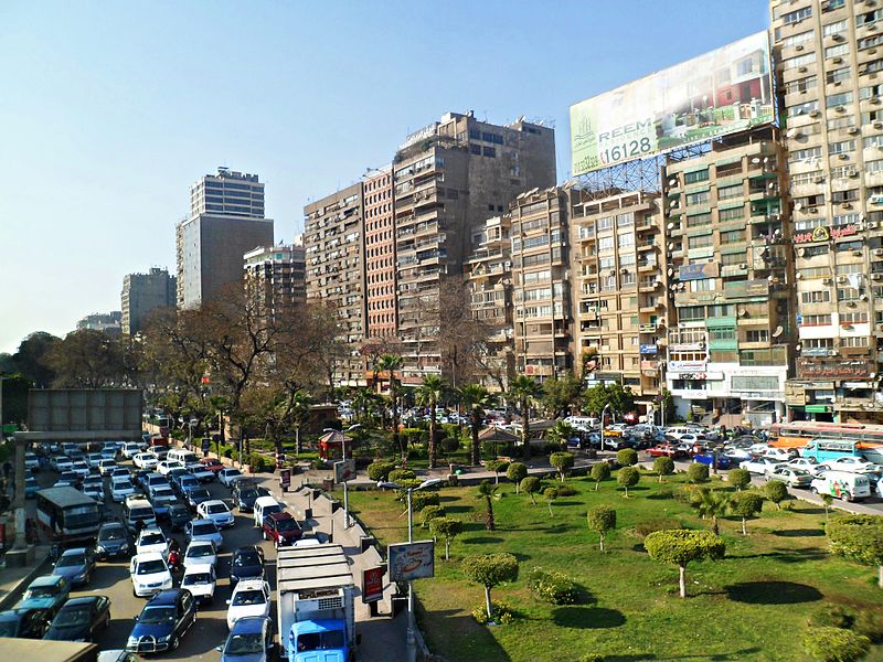
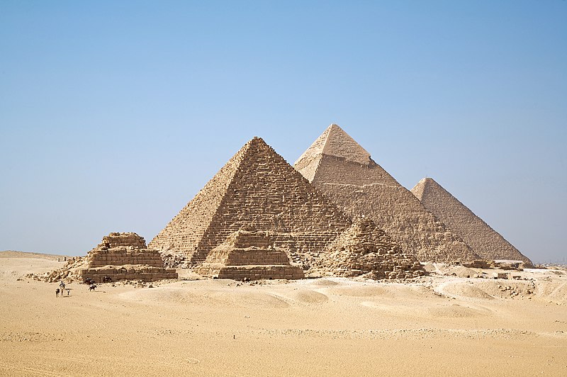
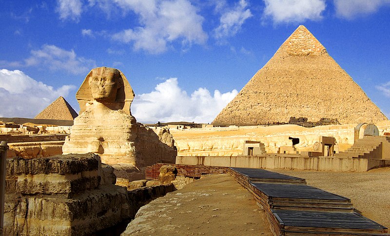
Giza is the second-largest city in Egypt after Cairo and fourth-largest city in Africa after Kinshasa, Lagos and Cairo. It is the capital of Giza Governorate with a total population of 9.2 million as of 2021. It is located on the west bank of the Nile, 4.9 km southwest of central Cairo, and is a part of the Greater Cairo metropolis. Giza lies less than 30 km north of Memphis, which was the capital city of the first unified Egyptian state from the days of the first pharaoh, Narmer. ()
Day trips
Giza – popular in the area (distance from the attraction)
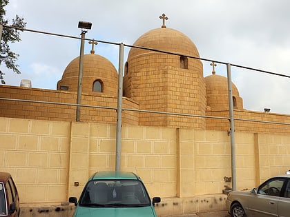
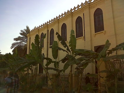
Nearby attractions include: Babylon Fortress, Giza Zoo, Coptic Museum, Hanging Church.
Frequently Asked Questions (FAQ)
Which popular attractions are close to Giza?
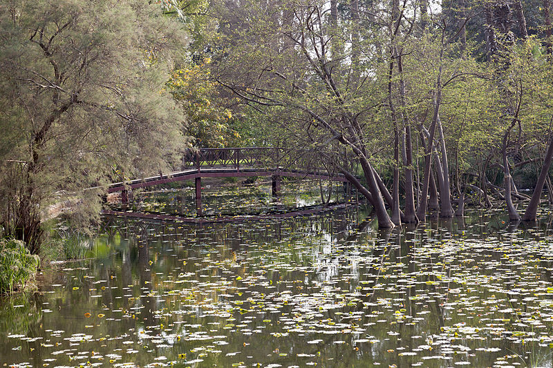
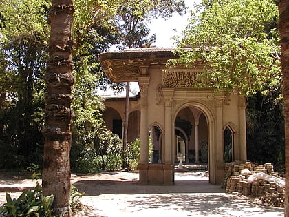
Nearby attractions include Al-Askar, Cairo (5 min walk), Ahmed Shawki Museum, Cairo (11 min walk), Giza Zoo, Cairo (14 min walk), Orman Garden, Cairo (23 min walk).
How to get to Giza by public transport?
The nearest stations to Giza:
Bus
Metro
Train
Bus
- مترو الجيزة (15 min walk)
- Amr Ibn Al-Aas (32 min walk)
Metro
- Faisal • Lines: 2 (15 min walk)
- Giza • Lines: 2 (15 min walk)
Train
- Giza Suburbs (22 min walk)
