Old Cairo, Cairo
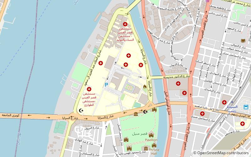
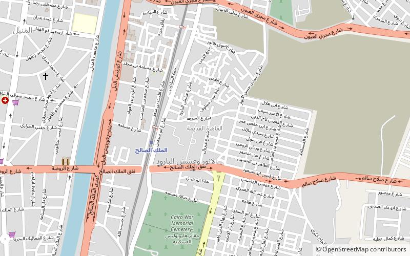
Map
Gallery
Facts and practical information
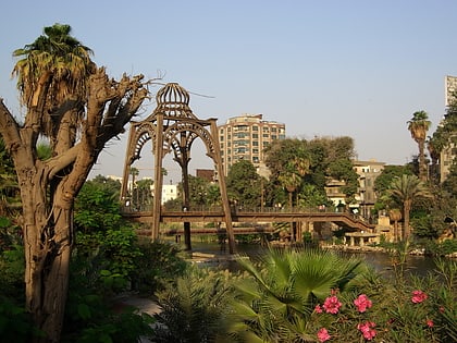
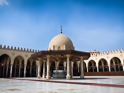
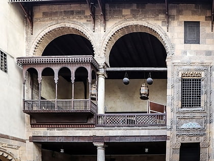
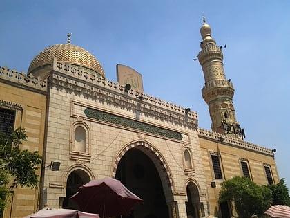
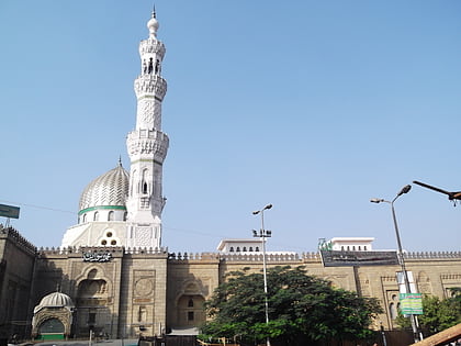
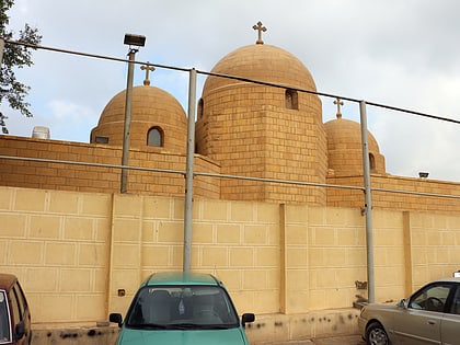
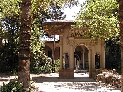
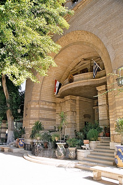
Old Cairo is a historic area in Cairo, Egypt, which includes the site of a Roman-era fortress and of Islamic-era settlements pre-dating the founding of Cairo proper in AD 969. It is also considered part of what is referred to as "Historic Cairo" or "Islamic Cairo", and is a UNESCO World Heritage Site. ()
Address
مصر القديمة (الملك الصالح)Cairo
ContactAdd
Social media
Add
Day trips
Old Cairo – popular in the area (distance from the attraction)
Nearby attractions include: Babylon Fortress, Coptic Museum, Hanging Church, Mosque of Amr ibn al-As.
Frequently Asked Questions (FAQ)
Which popular attractions are close to Old Cairo?
Nearby attractions include Cairo Citadel Aqueduct, Cairo (10 min walk), Mosque of Amr ibn al-As, Cairo (13 min walk), Manial Palace and Museum, Cairo (19 min walk), El Manial, Cairo (19 min walk).
How to get to Old Cairo by public transport?
The nearest stations to Old Cairo:
Metro
Bus
Metro
- Al-Malek Al-Saleh • Lines: 1 (4 min walk)
- Mar Girgis • Lines: 1 (22 min walk)
Bus
- Amr Ibn Al-Aas (15 min walk)
- السيدة زينب (22 min walk)
