Nilometer, Cairo
Map

Gallery
Facts and practical information
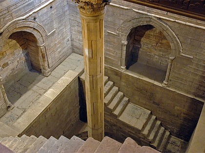
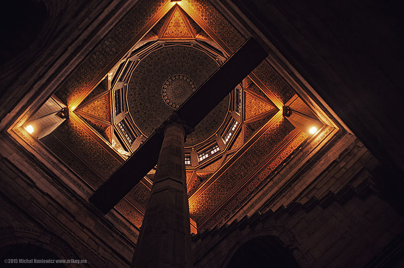
A nilometer was a structure for measuring the Nile River's clarity and water level during the annual flood season. There were three main types of nilometers, calibrated in Egyptian cubits: a vertical column, a corridor stairway of steps leading down to the Nile, or a deep well with culvert. If the water level was low, there would be less food. If it was too high, it would be destructive. There was a specific mark that indicated how high the flood should be if the fields were to get good soil. ()
Address
Roda Islandروضة جزيره (rwdt jzyrh)Cairo 11511
ContactAdd
Social media
Add
Day trips
Nilometer – popular in the area (distance from the attraction)
Nearby attractions include: Babylon Fortress, Giza Zoo, Coptic Museum, Hanging Church.
Frequently Asked Questions (FAQ)
Which popular attractions are close to Nilometer?
Nearby attractions include Umm Kulthum Museum, Cairo (2 min walk), Manasterly Palace, Cairo (2 min walk), Saint Mary Church, Cairo (5 min walk), Babylon Fortress, Cairo (7 min walk).
How to get to Nilometer by public transport?
The nearest stations to Nilometer:
Metro
Bus
Train
Metro
- Mar Girgis • Lines: 1 (7 min walk)
- Al-Malek Al-Saleh • Lines: 1 (20 min walk)
Bus
- Amr Ibn Al-Aas (12 min walk)
- مترو الجيزة (30 min walk)
Train
- Giza Suburbs (27 min walk)
