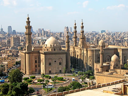
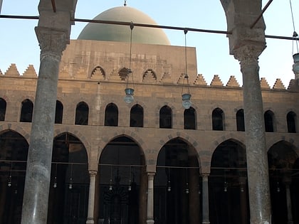
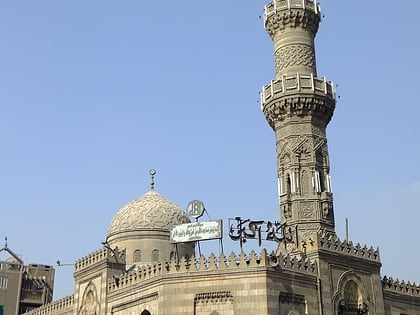
Mosque of Qanibay al-Muhammadi, Cairo
Map
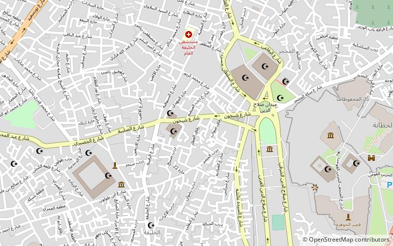
Map

Facts and practical information
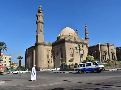
Mosque of Qanibay al-Muhammadi is one of the historical mosques in Cairo, Egypt, built in 1413 CE during the Burji dynasty era of Mamluk Sultanate. It is located at Al-Saleeba street in Islamic Cairo, and there is Mosque and Khanqah of Shaykhu at its neighbor. ()
Architectural style: Islamic architectureCoordinates: 30°1'51"N, 31°15'15"E
Address
القاهرة الإسلامية (الخليفة)Cairo
ContactAdd
Social media
Add
Day trips
Mosque of Qanibay al-Muhammadi – popular in the area (distance from the attraction)
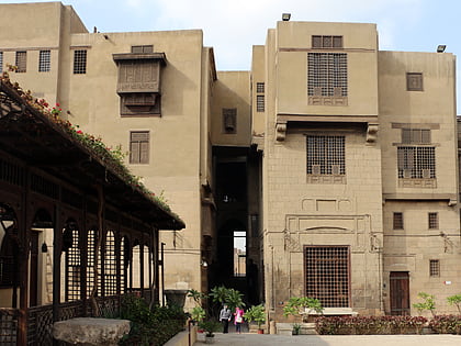
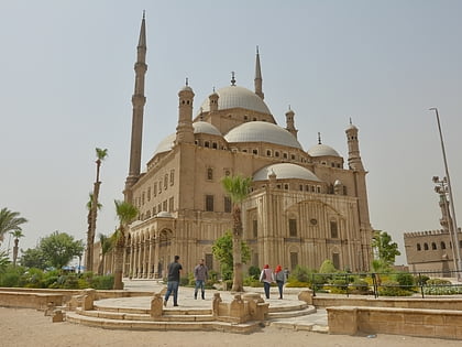
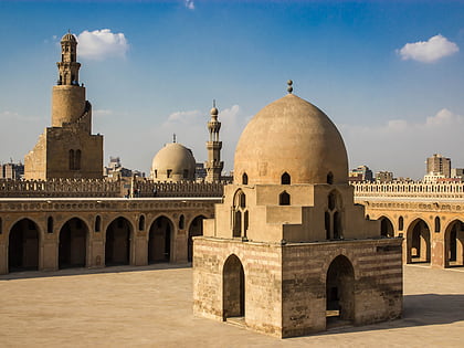
Nearby attractions include: Khan el-Khalili, Gayer-Anderson Museum, Mosque of Muhammad Ali, Mosque of Ibn Tulun.
Frequently Asked Questions (FAQ)
Which popular attractions are close to Mosque of Qanibay al-Muhammadi?
Nearby attractions include Mosque and Khanqah of Shaykhu, Cairo (2 min walk), Amir Taz Palace, Cairo (3 min walk), Palace of Yashbak, Cairo (4 min walk), Madrasa of Amir Sunqur Sa'di, Cairo (5 min walk).
How to get to Mosque of Qanibay al-Muhammadi by public transport?
The nearest stations to Mosque of Qanibay al-Muhammadi:
Bus
Metro
Bus
- El Sayeda Aysha Bus Station (10 min walk)
- السيدة زينب (28 min walk)
Metro
- Saad Zaghloul • Lines: 1 (27 min walk)
- Sayyeda Zeinab • Lines: 1 (29 min walk)

