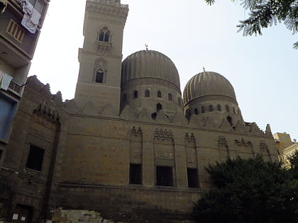
Tomb of Salar and Sangar-al-Gawli, Cairo
Map
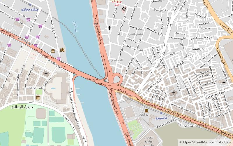
Map

Facts and practical information
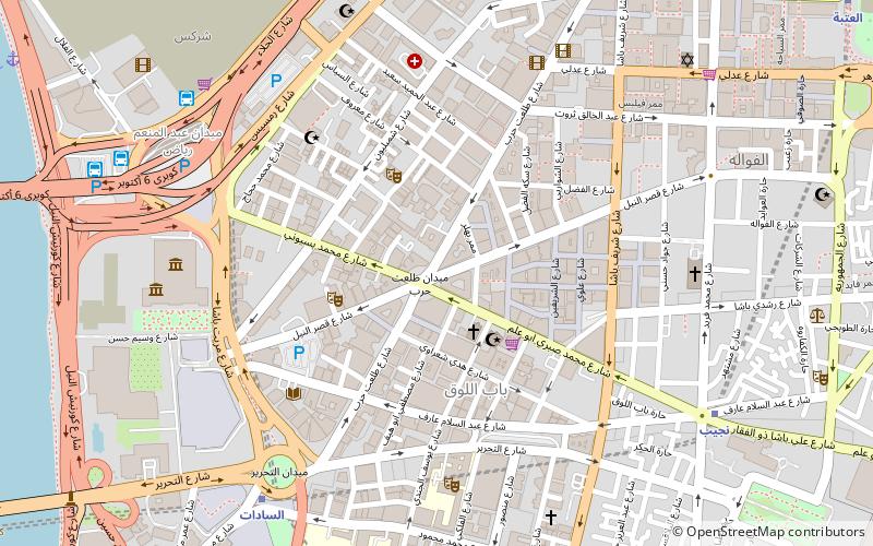
The mosque and tomb of Salar and Sangar al-Gawli is located near the Ibn Tulun Mosque along Saliba Street in Medieval Cairo and is west of Madrasa of Sarghatmish. It contains the joint mausoleums of Sayf el-Din Salar and Alam el-Din Sangar el-Gawli, powerful Mamluk emirs in the early 14th-century in 1304. The latter built the complex which also contains a madrasa for the Shafi'i school of jurisprudence and khanqah for the Sufi community. ()
Coordinates: 30°3'29"N, 31°13'44"E
Address
بولاق (bwlaq)Cairo
ContactAdd
Social media
Add
Day trips
Tomb of Salar and Sangar-al-Gawli – popular in the area (distance from the attraction)
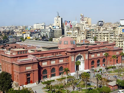
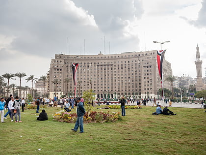
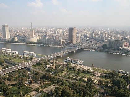
Nearby attractions include: Egyptian Museum, Tahrir Square, Cairo Tower, 6th October Bridge.
Frequently Asked Questions (FAQ)
Which popular attractions are close to Tomb of Salar and Sangar-al-Gawli?
Nearby attractions include Sulayman Pasha Mosque, Cairo (1 min walk), Gezirah Palace, Cairo (7 min walk), Prince Amr Ibrahim Palace, Cairo (7 min walk), Prince Amr Ibrahim Palace, Cairo (7 min walk).
How to get to Tomb of Salar and Sangar-al-Gawli by public transport?
The nearest stations to Tomb of Salar and Sangar-al-Gawli:
Bus
Metro
Train
Bus
- Turgoman Bus Station (15 min walk)
- Abd el Moniem Riad (16 min walk)
Metro
- Nasser • Lines: 1 (18 min walk)
- Orabi • Lines: 1 (21 min walk)
Train
- Orabi (21 min walk)
- Ramses Station (29 min walk)
