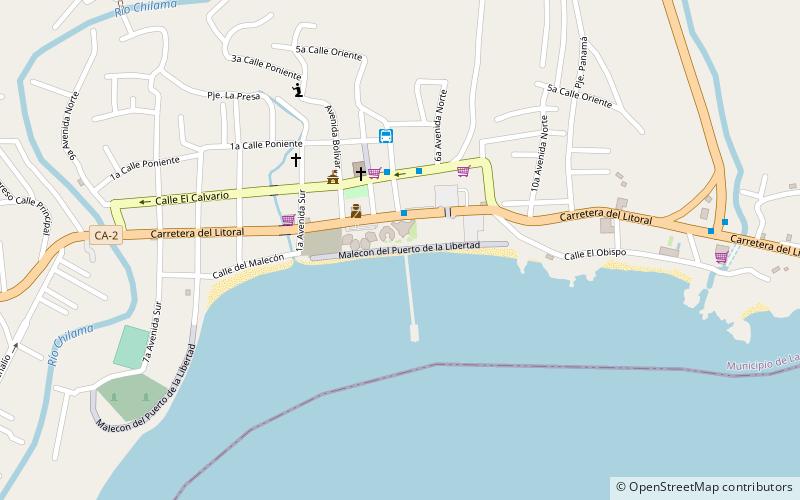
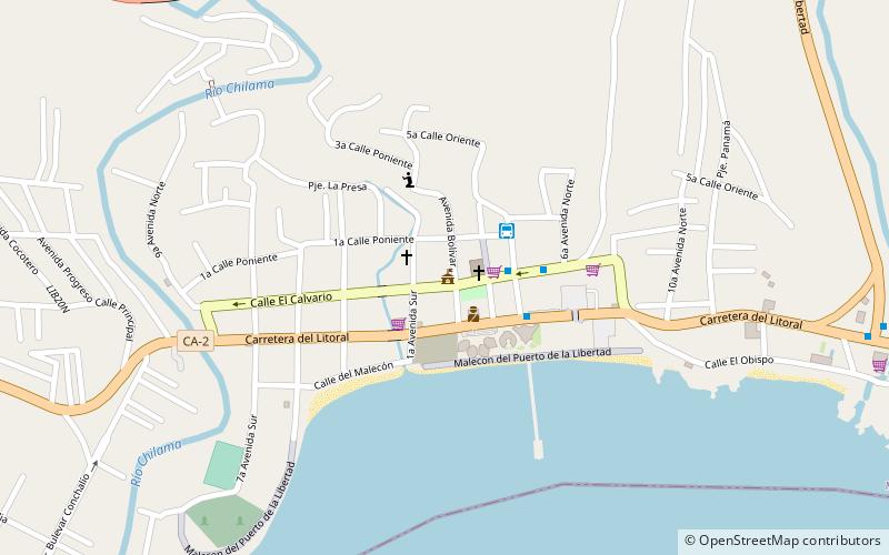
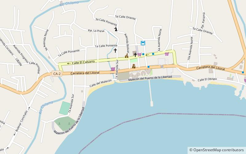
Malecon del Puerto de la Libertad, La Libertad
Map
Facts and practical information
Malecon del Puerto de la Libertad (address: Carretera El Litoral, Km. 34 1/2) is a place located in La Libertad (La Libertad department) and belongs to the category of beach, square.
It is situated at an altitude of 36 feet, and its geographical coordinates are 13°29'12"N latitude and 89°19'10"W longitude.
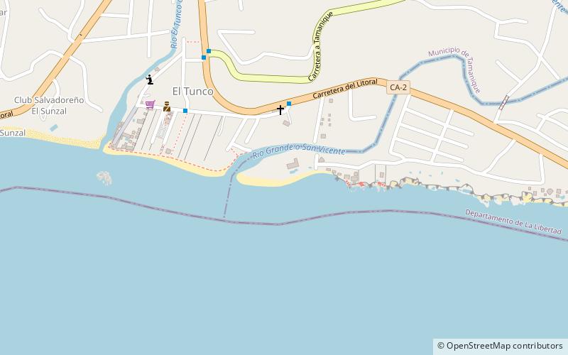
Among other places and attractions worth visiting in the area are: Amphitheater (concerts and shows, 3 min walk), Alcaldía del Puerto de La Libertad (city hall, 4 min walk), Playa El Tunco (beach, 105 min walk).
Coordinates: 13°29'12"N, 89°19'10"W
Address
Carretera El Litoral, Km. 34 1/2La Libertad
ContactAdd
Social media
Add
Day trips
Frequently Asked Questions (FAQ)
Which popular attractions are close to Malecon del Puerto de la Libertad?
Nearby attractions include Amphitheater, La Libertad (3 min walk), Alcaldía del Puerto de La Libertad, La Libertad (4 min walk).