Cerro Verde, Santa Ana
Map
Facts and practical information
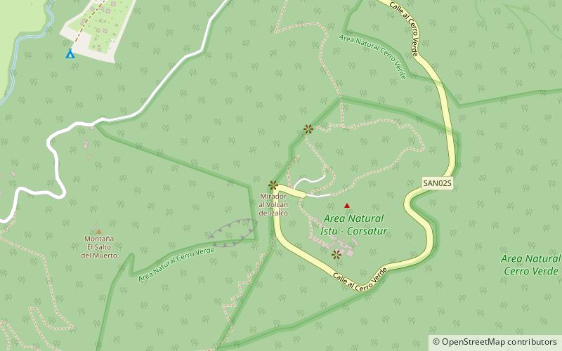
Cerro Verde (address: Santa Ana) is a place located in Santa Ana (Santa Ana department) and belongs to the category of natural attraction, national park, park.
It is situated at an altitude of 6608 feet, and its geographical coordinates are 13°49'38"N latitude and 89°37'29"W longitude.
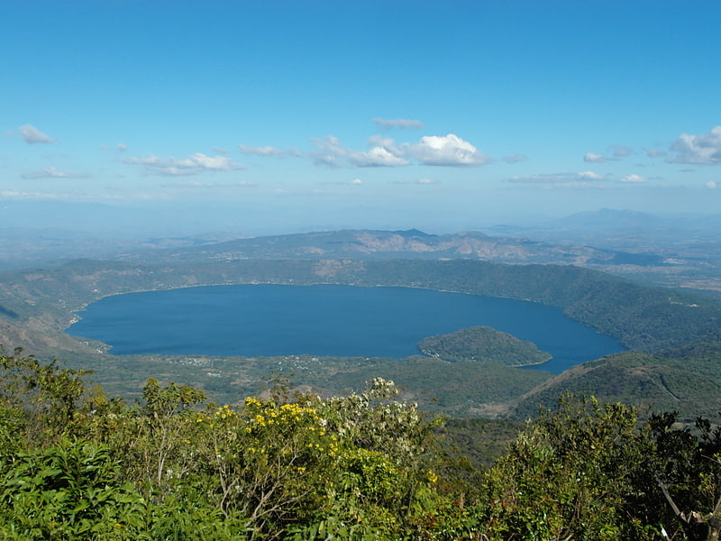
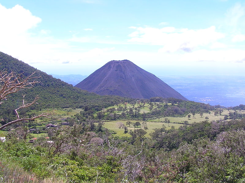
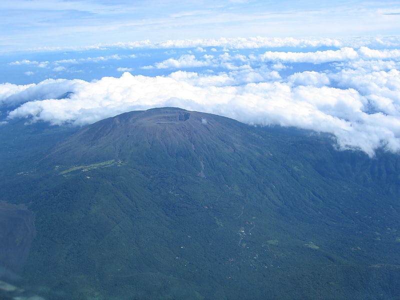
Among other places and attractions worth visiting in the area are: Izalco Volcano (nature, 28 min walk), Santa Ana Volcano (nature, 44 min walk), Coatepeque Caldera (nature, 148 min walk).
Elevation: 6608 ft a.s.l.Coordinates: 13°49'38"N, 89°37'29"W
Address
Santa AnaSanta Ana
Contact
+503 7468 5701
Social media
Add
Day trips
Frequently Asked Questions (FAQ)
When is Cerro Verde open?
Cerro Verde is open:
- Monday 9 am - 5 pm
- Tuesday 9 am - 5 pm
- Wednesday 9 am - 5 pm
- Thursday 9 am - 5 pm
- Friday 9 am - 5 pm
- Saturday 9 am - 5 pm
- Sunday 9 am - 5 pm