Hõralaid

Gallery (1)
Map
Map
Facts and practical information
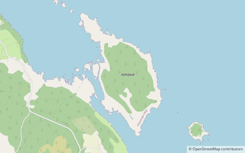
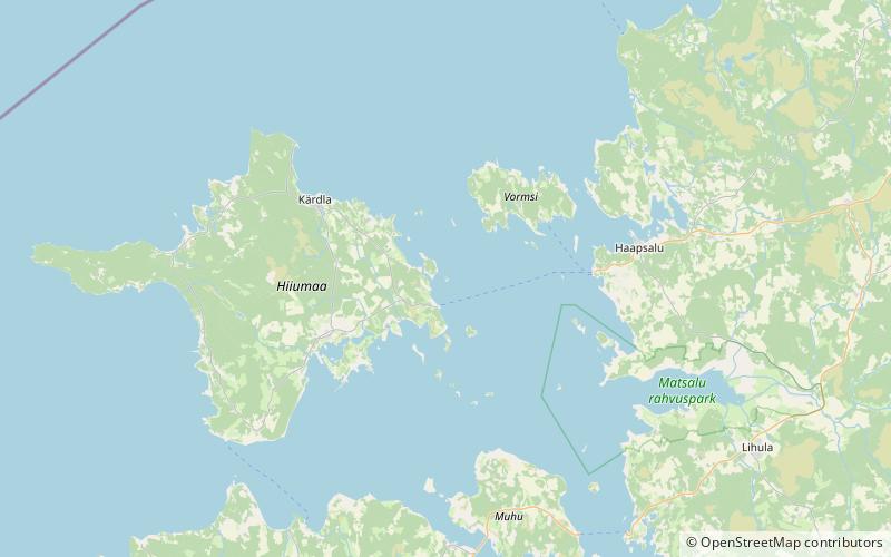
Hõralaid is a small, uninhabited Estonian island of approximately 20 hectares in the Baltic Sea. The coordinates of Hõralaid are 58°53′55″N 23°04′26″E. ()
Location
Hiiu
ContactAdd
Social media
Add
Day trips