Vohilaid

Map
Facts and practical information
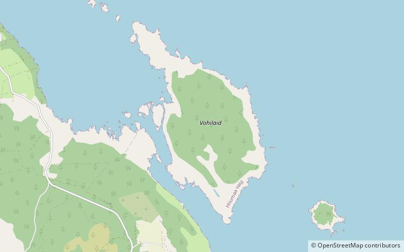
Vohilaid is a small Estonian island in the Baltic Sea. It is approximately 416 hectares and the highest point is approximately ten feet above sea level. Its coordinates are 58°54′42″N 23°02′24″E ()
Location
Hiiu
ContactAdd
Social media
Add
Day trips
Vohilaid – popular in the area (distance from the attraction)
Nearby attractions include: Suursadam, Sarve Landscape Conservation Area, Suuremõisa Park, Kukka Nature Reserve.


