Ojurahu, Vilsandi National Park
#18 among attractions in Vilsandi National Park
Facts and practical information
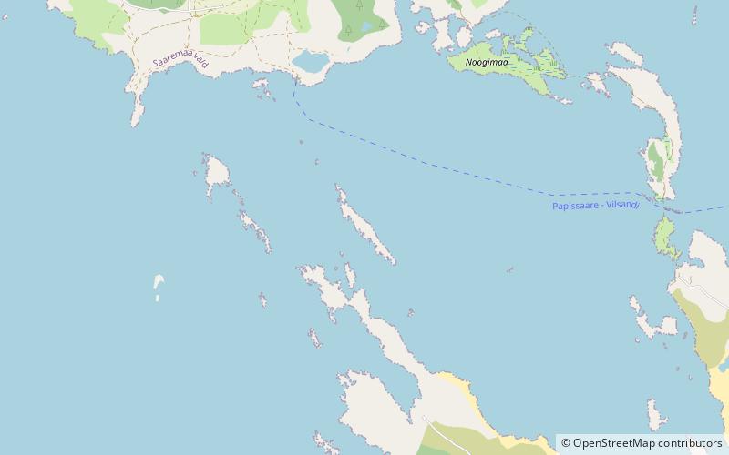
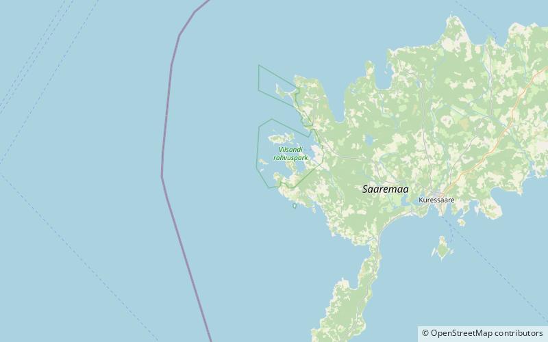
Ojurahu is an island belonging to the country of Estonia. ()
Vilsandi National Park Estonia
Ojurahu – popular in the area (distance from the attraction)
Nearby attractions include: Vilsandi Lighthouse, Loonalaid, Vesiloo, Mustpank.
 Lighthouse
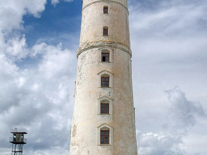
Vilsandi Lighthouse, Vilsandi
74 min walk • Vilsandi Lighthouse is a lighthouse located on the island of Vilsandi, in Estonia. The lighthouse was built in 1809, making it the oldest lighthouse on the coastline of the Baltic Sea in Saare County. In 1907 the lighthouse keeper became Artur Toom, which founded the first protected area in the small island of Vaika.
 Area
AreaLoonalaid, Vilsandi National Park
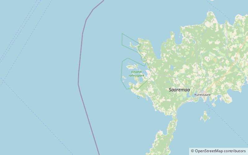
90 min walk • Loonalaid is a small island in the Baltic Sea belonging to the country of Estonia. Its coordinates are 58°19′42″N 21°48′19″E. Loonalaid lies just off the northwest coast of the island of Saaremaa, is administered by Saaremaa Municipality, Saare County and is also part of Vilsandi National Park.
 Area
AreaVesiloo, Vilsandi National Park
75 min walk • Vesiloo is a small, uninhabited Estonian island in the Baltic Sea. Its coordinates are 58°23′45″N 21°50′35″E. Vesiloo lies just off the northern coast of the island of Vilsandi.
 Area
AreaMustpank, Vilsandi National Park
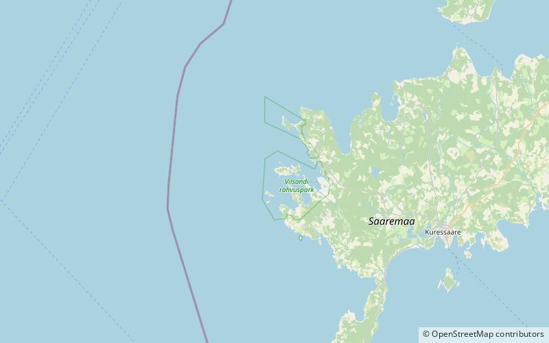
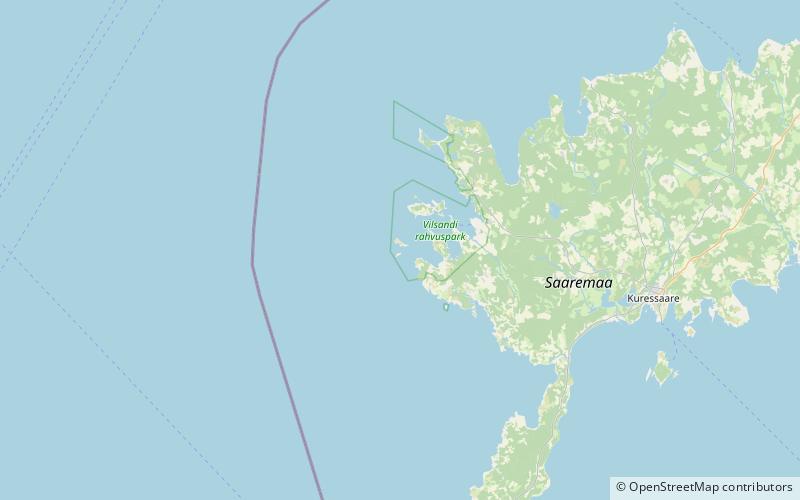
73 min walk • Mustpank is one of the Vaika islands belonging to the country of Estonia.
 Area
AreaUus-Nootamaa, Vilsandi National Park
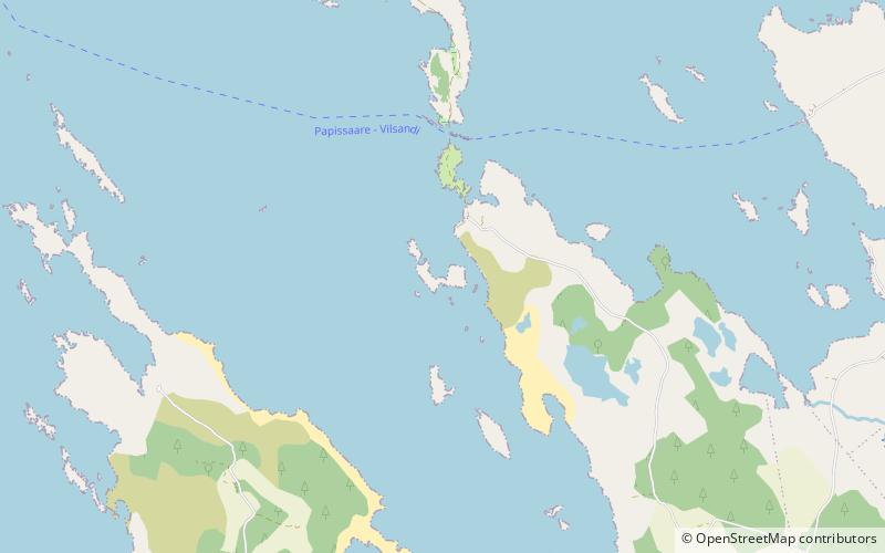
101 min walk • Uus-Nootamaa is an island belonging to the country of Estonia.
 Area
AreaUmalakotid, Vilsandi National Park
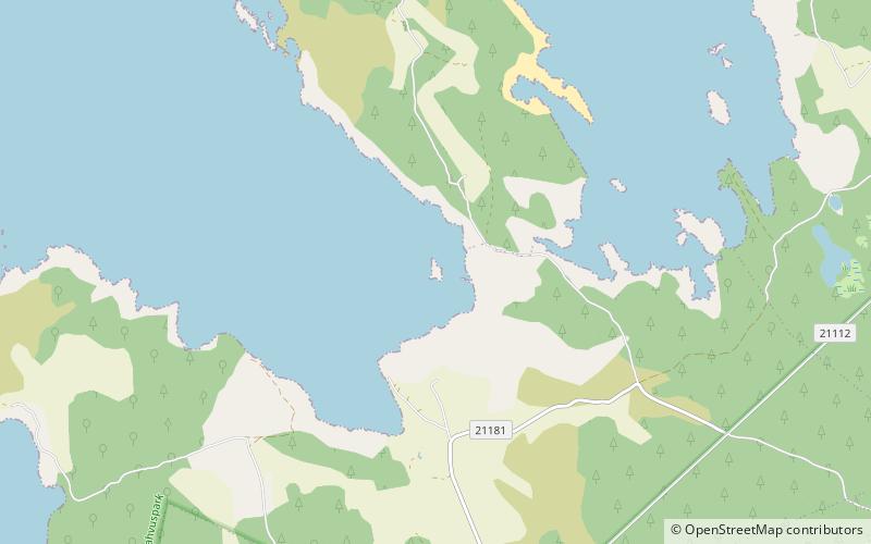
54 min walk • Umalakotid is an island belonging to the country of Estonia.
 Area
AreaUrverahu, Vilsandi National Park
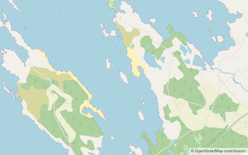
88 min walk • Urverahu is an uninhabited island belonging to the country of Estonia.
 Area
AreaVõrkrahu, Vilsandi National Park
71 min walk • Võrkrahu is a small islet belonging to the country of Estonia off the west coast of the larger island of Saaremaa in the Kuusnõmme Gulf of the Baltic Sea. It is administered by Lääne-Saare Parish. Võrkrahu lies in an oblong North-South direction and is covered in pine and junipers.
 Area
AreaNoogimaa, Vilsandi National Park
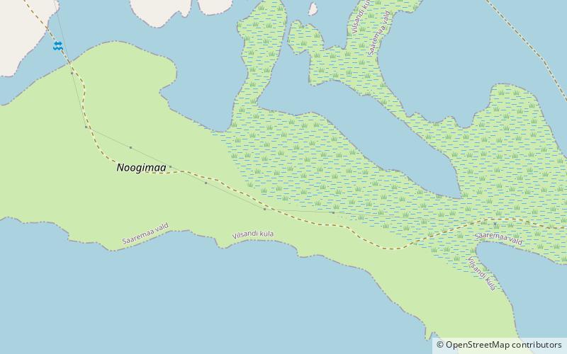
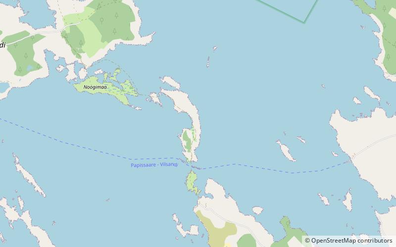
39 min walk • Noogimaa is a small, uninhabited Estonian island in the Baltic Sea. Its coordinates are: 58°22′09″N 21°54′45″E. Noogimaa lies just south of the island of Vilsandi and at the western tip of the island of Saaremaa.
 Area
AreaKäkimaa, Vilsandi National Park
57 min walk • Käkimaa is an island belonging to the country of Estonia.
 Area
AreaKoerakuiv, Vilsandi National Park
85 min walk • Koerakuiv is an island belonging to the country of Estonia.