Võrkrahu, Vilsandi National Park
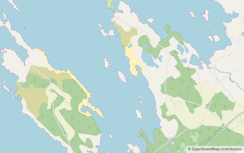
Map
Facts and practical information
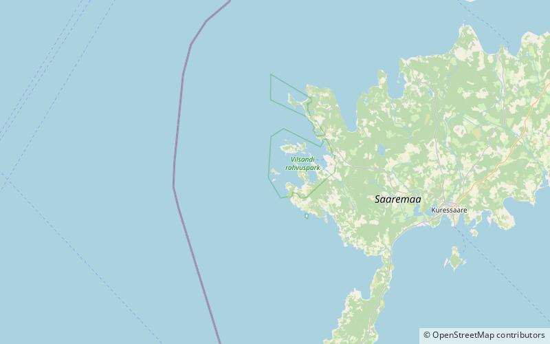
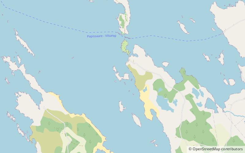
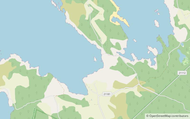
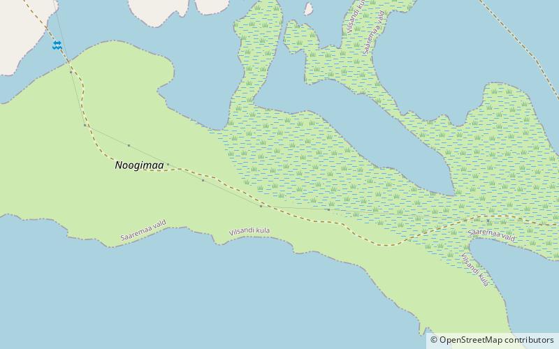
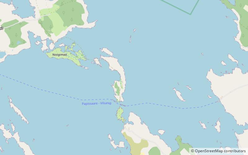
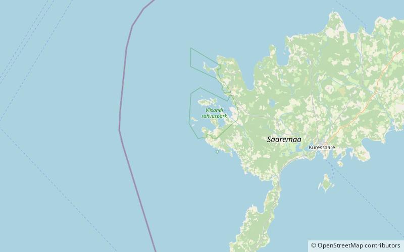
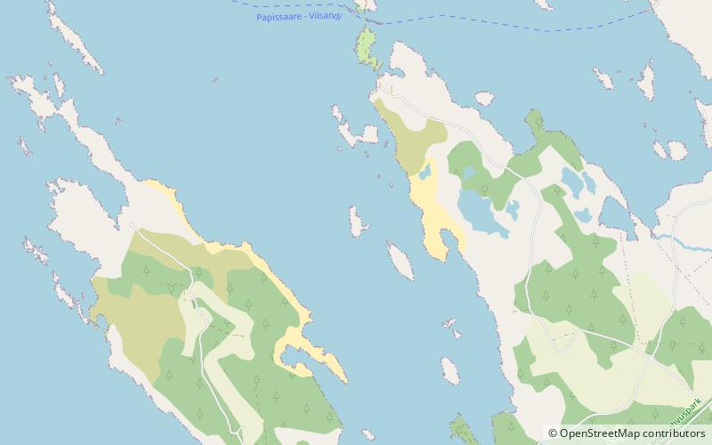
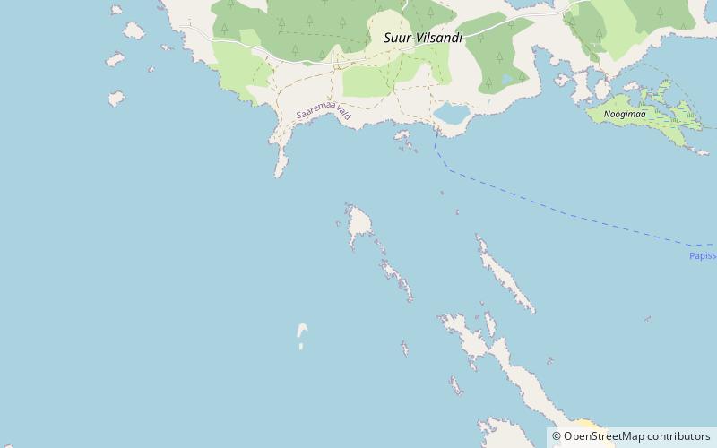
Võrkrahu is a small islet belonging to the country of Estonia off the west coast of the larger island of Saaremaa in the Kuusnõmme Gulf of the Baltic Sea. It is administered by Lääne-Saare Parish. Võrkrahu lies in an oblong North-South direction and is covered in pine and junipers. It covers an area of 6.07618 hectares and a circumference of 1.32628 kilometers and is part of Vilsandi National Park. ()
Coordinates: 58°20'4"N, 21°56'17"E
Address
Vilsandi National Park
ContactAdd
Social media
Add
Day trips
Võrkrahu – popular in the area (distance from the attraction)
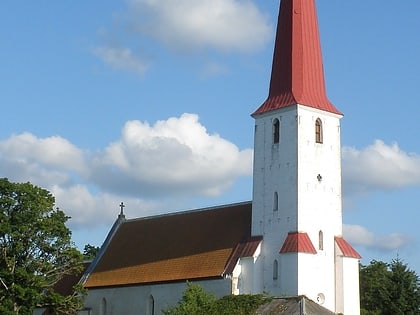
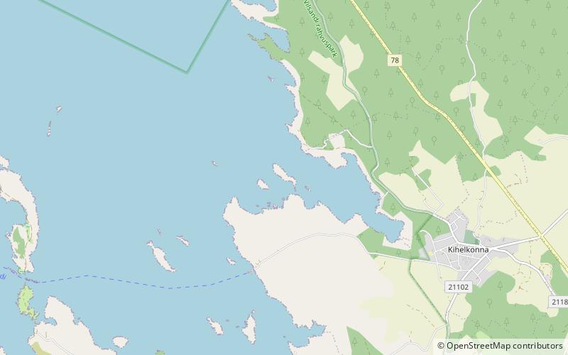
Nearby attractions include: Kihelkonna St. Michael's Church, Loonalaid, Umalakotid, Vasikalaid.
