Pelguranna, Tallinn
Map
Gallery
Facts and practical information
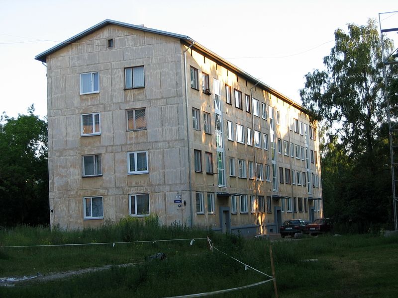
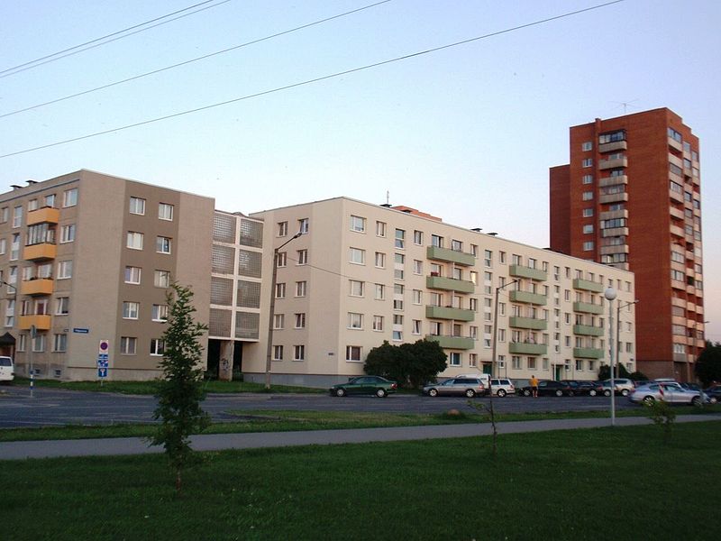
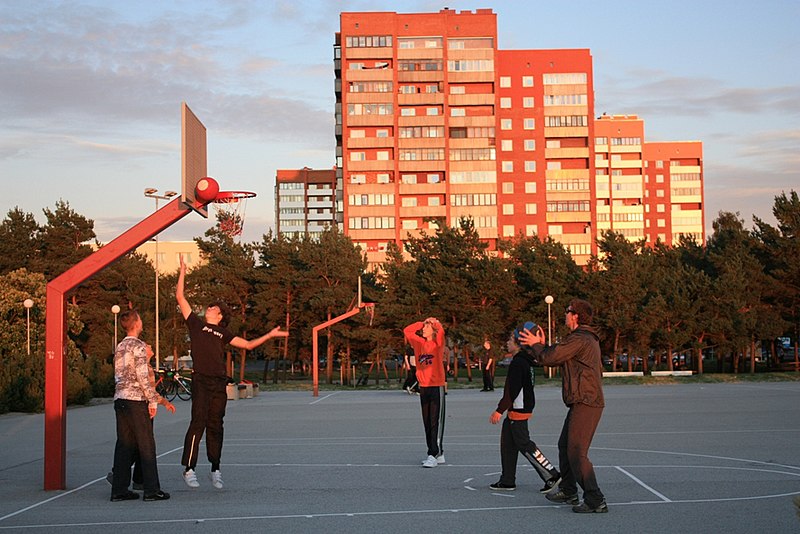
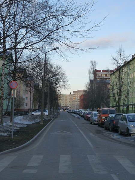
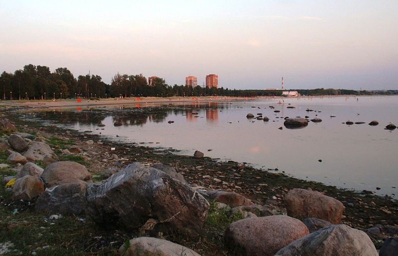
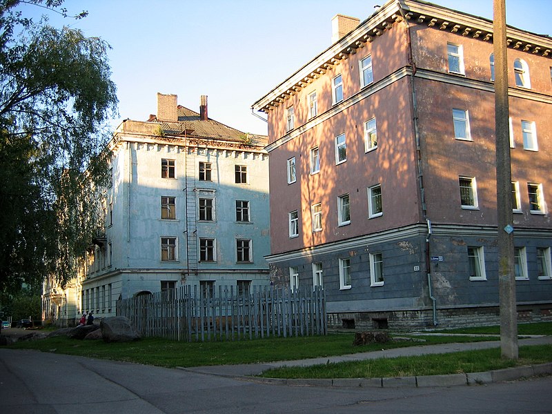
Pelguranna is a subdistrict in the district of Põhja-Tallinn in Tallinn, the capital of Estonia. It is located between Pelgulinn, Kopli and Sitsi and is bordered with the Stroomi Beach by the Kopli Bay to the west, and the Merimets forest park to the south. Houses there mostly consist of 4-9 floor apartment buildings. Pelguranna has a population of 15,142. ()
Address
Põhja-Tallinn (Pelguranna)Tallinn
ContactAdd
Social media
Add
Day trips
Pelguranna – popular in the area (distance from the attraction)
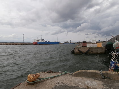
Nearby attractions include: Paljassaare Harbour, Port of Meeruse, Miinisadam Naval Base, Põhja-Tallinn.
Frequently Asked Questions (FAQ)
Which popular attractions are close to Pelguranna?
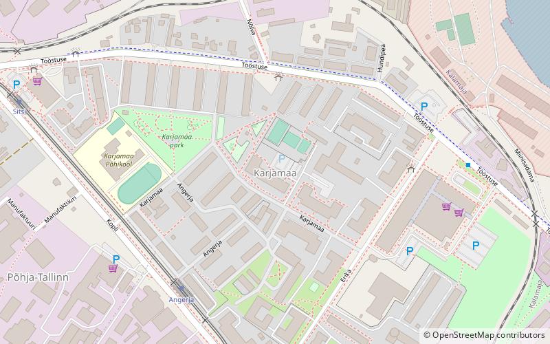
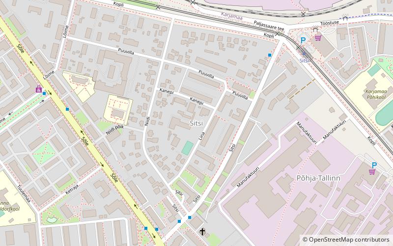
Nearby attractions include Põhja-Tallinn, Tallinn (6 min walk), Sitsi, Tallinn (10 min walk), Paljassaare Harbour, Tallinn (19 min walk), Karjamaa, Tallinn (20 min walk).
How to get to Pelguranna by public transport?
The nearest stations to Pelguranna:
Bus
Tram
Trolleybus
Bus
- Randla • Lines: 3, 40, 48, 66 (1 min walk)
- Pelguranna • Lines: 3, 40, 48, 66 (3 min walk)
Tram
- Maleva • Lines: 1, 2 (13 min walk)
- Sitsi • Lines: 1, 2 (15 min walk)
Trolleybus
- Lille • Lines: T1, T5 (35 min walk)
- Ristiku • Lines: T1, T4, T5 (37 min walk)


