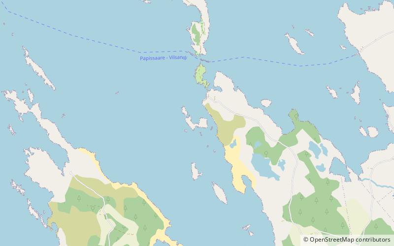
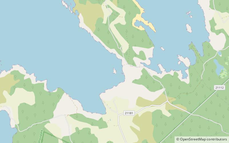
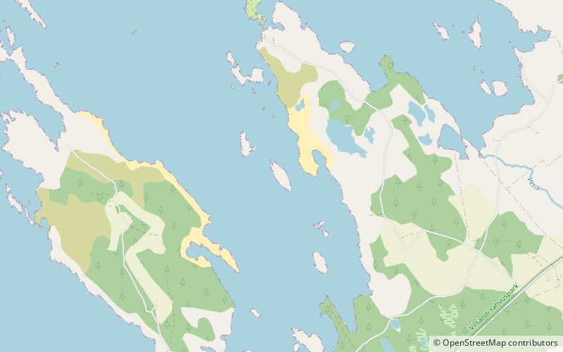
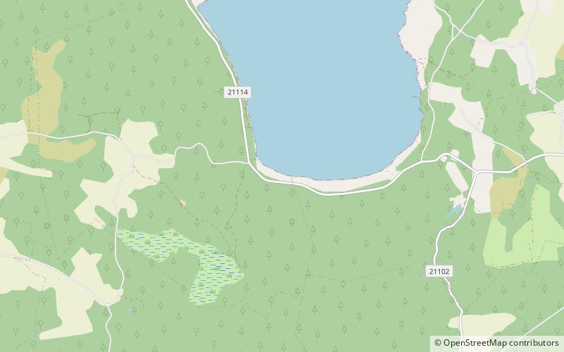
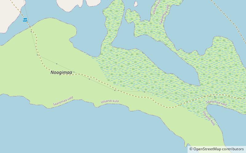
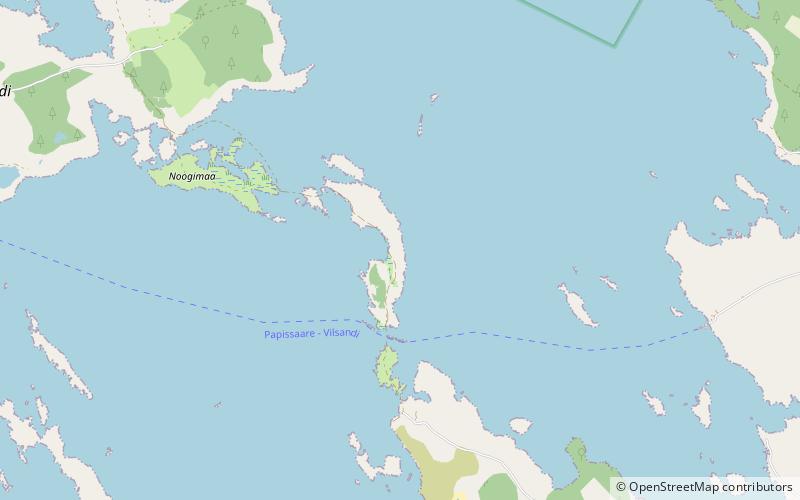
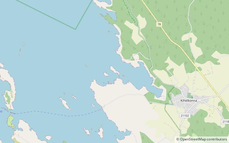
Vasikalaid, Vilsandi National Park
#7 among attractions in Vilsandi National Park
Facts and practical information
Vasikalaid is an island belonging to the country of Estonia. ()
Vilsandi National Park Estonia
Vasikalaid – popular in the area (distance from the attraction)
Nearby attractions include: Kihelkonna St. Michael's Church, Vesiloo, Odalätsi Landscape Conservation Area, Umalakotid.
1.7 miSEGothic architecture, Church, TownKihelkonna St. Michael's Church, Saaremaa
44 min walk • Kihelkonna St. Michael's Church, sometimes simply Kihelkonna Church, is a medieval Lutheran church on Saaremaa island in western Estonia.
5.7 miWAreaVesiloo, Vilsandi National Park
146 min walk • Vesiloo is a small, uninhabited Estonian island in the Baltic Sea. Its coordinates are 58°23′45″N 21°50′35″E. Vesiloo lies just off the northern coast of the island of Vilsandi.
4.7 miEProtected areaOdalätsi Landscape Conservation Area, Saaremaa
119 min walk • Odalätsi Landscape Conservation Area is a nature park which is located in Saare County, Estonia. The area of the nature park is 164 ha. The protected area was founded in 1959 to protect Odalätsi Dunes. In 1973, Odalätsi Springs were also taken under protection.
2.9 miSWAreaUmalakotid, Vilsandi National Park
73 min walk • Umalakotid is an island belonging to the country of Estonia.
5.4 miSWAreaUrverahu, Vilsandi National Park
138 min walk • Urverahu is an uninhabited island belonging to the country of Estonia.
3.3 miSWAreaVõrkrahu, Vilsandi National Park
84 min walk • Võrkrahu is a small islet belonging to the country of Estonia off the west coast of the larger island of Saaremaa in the Kuusnõmme Gulf of the Baltic Sea. It is administered by Lääne-Saare Parish. Võrkrahu lies in an oblong North-South direction and is covered in pine and junipers.
4.5 miNEProtected areaTeesu Nature Reserve, Saaremaa
115 min walk • Teesu Nature Reserve is a nature reserve which is located in Saare County, Estonia. The area of the nature reserve is 153 ha. The protected area was founded in 2007 to protect valuable habitat types and threatened species in Kallaste and Kehila village.
3.3 miWAreaNoogimaa, Vilsandi National Park
85 min walk • Noogimaa is a small, uninhabited Estonian island in the Baltic Sea. Its coordinates are: 58°22′09″N 21°54′45″E. Noogimaa lies just south of the island of Vilsandi and at the western tip of the island of Saaremaa.
5.2 miNProtected areaKesknõmme Nature Reserve
133 min walk • Kesknõmme Nature Reserve is a nature reserve which is located in Saare County, Estonia. The area of the nature reserve is 481 ha. History of the protected area dates back to the year 1959 when Sepise yew was taken under protection. In 1965, the borders were widened.
1.1 miEAreaAbaja, Saaremaa
29 min walk • Abaja is a village in Saaremaa Parish, Saare County in western Estonia. Before the administrative reform in 2017, the village was in Kihelkonna Parish.
2.2 miWAreaKäkimaa, Vilsandi National Park
57 min walk • Käkimaa is an island belonging to the country of Estonia.