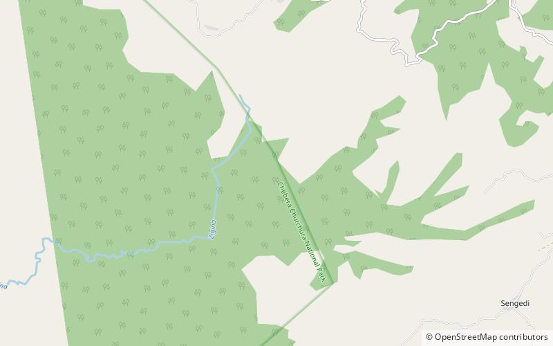
Isara Tocha, Chebera Churchura National Park

Map
Facts and practical information
Isara Tocha was one of the 77 woredas in the Southern Nations, Nationalities, and Peoples' Region of Ethiopia. Part of the Dawro Zone, Isara Tocha was bordered on the south by the Omo River which separates this woreda from the Gamo Gofa Zone, on the west by the Konta special woreda, on the north by the Gojeb River which separates it from the Oromia Region, on the east by Mareka Gena, and on the southeast by Loma Bosa. Towns in Isara Tocha included Bale and Tocha. Isara Tocha was separated to Isara and Tocha woredas. ()
Address
Chebera Churchura National Park
ContactAdd
Social media
Add