Fossá, Haldarsvík
#1 among attractions in Haldarsvík
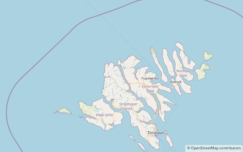

Facts and practical information
Fossurin í Fossá is one of the highest waterfalls in the Faroe Islands, and one of the biggest attractions in northern Streymoy. ()
Fossá – popular in the area (distance from the attraction)
Nearby attractions include: Slættaratindur, Lake Eiði, Funningur Church, Streymin Bridge.
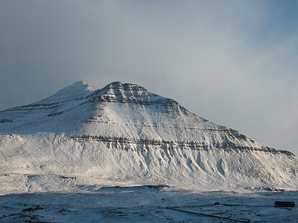 Faroe Islands' highest peak, with hiking
Slættaratindur, Eysturoy
96 min walk • Slættaratindur is the highest mountain in the Faroe Islands, at an elevation of 880 metres. It is located in the northern part of Eysturoy, between the villages of Eiði, Gjógv, and Funningur. Funningur lies at the foot of the mountain, however, the summit is not visible from the village.
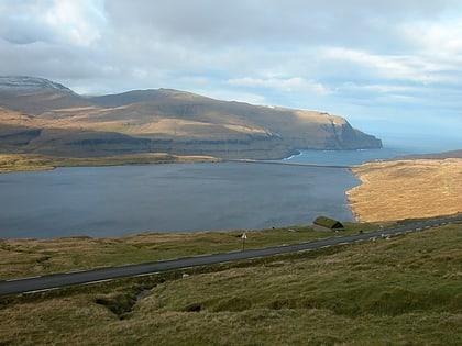 Nature, Natural attraction, Lake
Lake Eiði, Eysturoy
64 min walk • Lake Eiði is a lake on the island of Eysturoy in the Faroe Islands. Lake Eiði is located between the villages of Eiði and Ljósá. It is the fifth-largest natural lake in the Faroe Islands, with a natural size of 47 hectares that has been increased to 1.14 square kilometers.
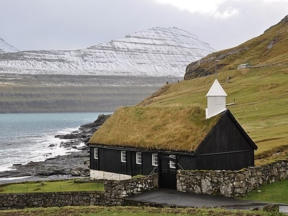 Church
Funningur Church, Eysturoy
111 min walk • Funninger Church, in the village of Funningur, is one of the 10 old wooden churches in the Faroe Islands. It was inaugurated on 30 November 1847 and is for that reason the newest of the old traditional wooden churches. Porkeri Church was also inaugurated in 1847 but a few months beforehand.
 Bridge
Streymin Bridge
96 min walk • The Streymin Bridge, is an important highway bridge in the Faroe Islands. It connects the two biggest and most populous islands of Streymoy to the west and Eysturoy to the east.
 Nature, Natural attraction, Mountain
Gráfelli, Eysturoy
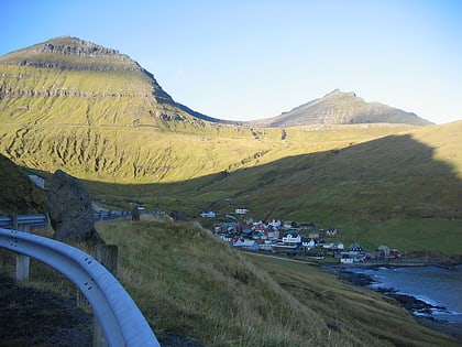
107 min walk • Gráfelli is the second highest mountain of the Faroe Islands located on the island of Eysturoy. It has an elevation of 856 metres. Slættaratindur just south-east of the mountain is 24 metres higher at 880 metres, the highest point of the Faroes. Funningur lies at the foot of both Slættaratindur and Gráfelli.
 Village
Gjógv
170 min walk • One of the most iconic attractions in Gjógv is the Gjógv sea-filled gorge itself, which is a must-see for visitors seeking breathtaking natural beauty. The gorge is surrounded by steep cliffs and offers stunning views of the North Atlantic Ocean, making it a popular...
 Rock, Nature
Risin og Kellingin, Eysturoy
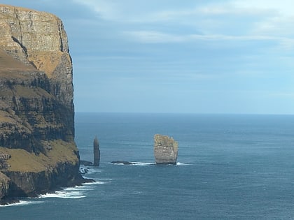
117 min walk • Risin og Kellingin are two sea stacks just off the northern coast of the island of Eysturoy in the Faroe Islands close to the town of Eiði. The name Risin og Kellingin means The Giant and the Witch and relates to an old legend about their origins.
 Village
Tjørnuvík
84 min walk • Tjørnuvík is the northernmost village on Streymoy in Sunda Municipality, Faroe Islands. The 2015 population was 54. Its postal code is FO 445. Its current church was built in 1937.
 Village
Saksun
81 min walk • One of the main attractions in Saksun is the iconic Dúvugarðar farm, a historic turf-roofed farmhouse that offers a glimpse into the traditional Faroese way of life. Visitors can explore the well-preserved buildings and learn about the rich cultural heritage of the...
 Sport, Arenas and stadiums, Sport venue
Við Margáir, Streymoy
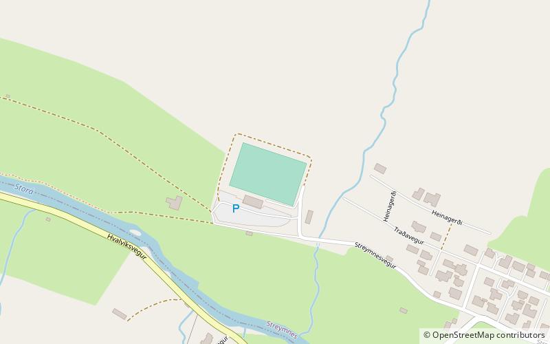
105 min walk • Við Margáir is a stadium in Streymnes, Faroe Islands. It is currently used mostly for association football matches and is the home ground of EB/Streymur.
