Tjørnuvík

Gallery (1)
Map
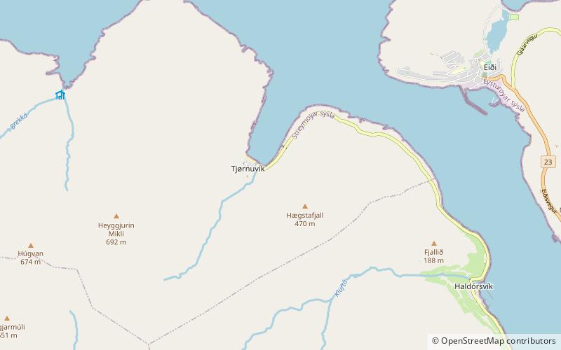
Map
Facts and practical information
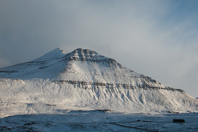
Tjørnuvík is the northernmost village on Streymoy in Sunda Municipality, Faroe Islands. ()
Location
Eysturoyar
ContactAdd
Social media
Add
Day trips
Tjørnuvík is the northernmost village on Streymoy in Sunda Municipality, Faroe Islands. ()
Eysturoyar
Where to next? Visit ![]() Eysturoyar region page or discover the top tourist attractions in Faroe Islands.
Eysturoyar region page or discover the top tourist attractions in Faroe Islands.