Mount Tomanivi

Gallery (1)
Map
Map
Facts and practical information
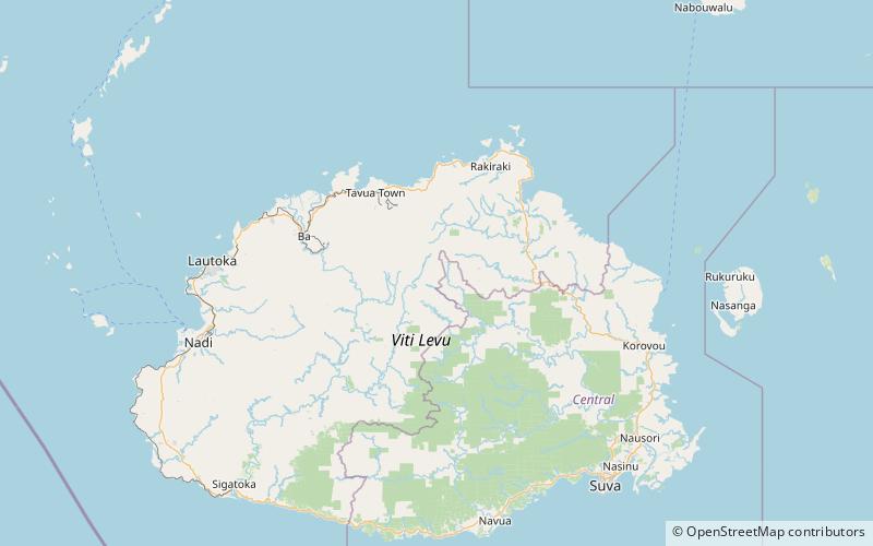
Mount Tomanivi, previously named Mount Victoria and also known as Tomaniivi, is an extinct volcano located in the northern highlands of Viti Levu. At 1,324 metres, Mount Tomanivi is the highest mountain in Fiji. A trail leads to the summit of Tomanivi from the village of Navai. The main river systems, the Rewa, Navua, Sigatoka, and Ba, all have their headwaters in the central mountain area. ()