Uea

Map
Facts and practical information
Uea is a high rocky offshore island of Rotuma. Uea is one of a number of outliers lying off the west coast of Rotuma. It is the second largest island and is the highest island in the Rotuma Group with an elevation of 260 metres. ()
Alternative names: Area: 180.39 acres (0.2819 mi²)Total islands: 13Archipelago: Rotuma GroupCoordinates: 12°27'57"S, 176°59'28"E
Location
Rotuma
ContactAdd
Social media
Add
Day trips
Uea – popular in the area (distance from the attraction)
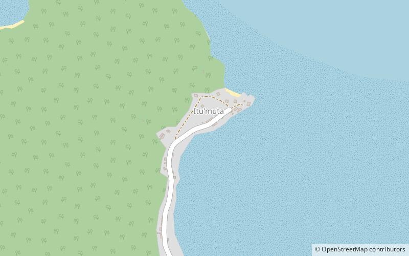
Nearby attractions include: Ituʻtiʻu, Malhaha, Ituʻmuta.


